3D GIS
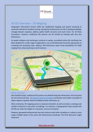
3D GIS. So far, all data has had x, y coordinates North-south and east-west 3D requires a z value E levation and/or depth. Mt. Everest Wordpress.com. Elevation: Height of land. Typically: Elevation above “mean sea level” By default, from the ellipsoid defined in the datum

3D GIS
E N D
Presentation Transcript
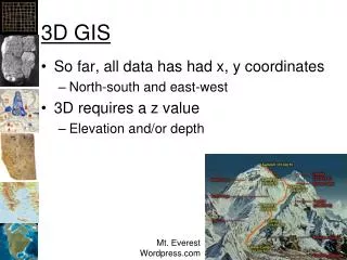
3D GIS • So far, all data has had x, y coordinates • North-south and east-west • 3D requires a z value • Elevation and/or depth Mt. Everest Wordpress.com
Elevation: Height of land • Typically: • Elevation above “mean sea level” • By default, from the ellipsoid defined in the datum • Can have a “vertical datum” • Typically local datums Shuttle Radar Telemetry Mission (SRTM) Jet Propulsion Labs
Bathymetry • Depth below “mean sea level” Frank A. Palmer and Louise B.Crary, that collided and sank in Massachusetts Bay in 1902.
Crater Lake Bathymetry • From over 2000 surveys Wikimedia.org
3D Settings Elevation from surfaces Elevation From Features
X, Y, Z Not: Wikipedia Adobe
Pitch, Yaw, and Roll copterix.perso.rezel.net
Three Dimensions: X, Y, Z • Six degrees of freedom! Wikipedia
Uses for ArcScene Esri
Can also create animations • See youtube • http://www.youtube.com/watch?v=qzkBnCBpQAM • Artificial terrain fly through (not ArcScene) • http://www.youtube.com/watch?v=nhXaScaT87o • With music in ArcScene (you can do better) • Note: ArcScene is not a gaming engine!
Temporal Data • Adding temporal data to visualizations: • Land use change over time (NLCD) • Elevation and remotely sensed changes • Esri has added some temporal features: • Date/Time attributes • ArcMap is still basically a 2D application • More complex temporal analysis and visualizations require special software