Download
1 / 11
110 likes | 215 Vues
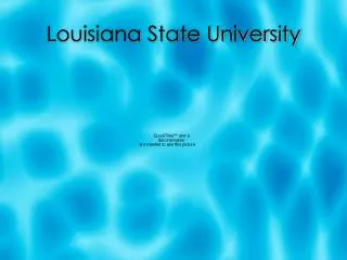
Earth Scan Lab, Coastal Studies Institute Louisiana State Unviersity Baton Rouge, Louisiana Directors: Oscar Huh, Nan Walker Associate Director: Larry Rouse System Manager: Alaric Haag.

E N D
Earth Scan Lab, Coastal Studies Institute Louisiana State Unviersity Baton Rouge, Louisiana Directors: Oscar Huh, Nan Walker Associate Director: Larry Rouse System Manager: Alaric Haag Missions: Emergency Response Education ResearchReal-time data: NOAA AVHRR GOES-8 GVAR Orbview-2 SeaWiFS Terra/Aqua MODIS OCEANSAT-1 OCMRADARSAT/ERS-2 SAR
Coastal Applications for Remote Sensing *Storm/hurricane tracking and impacts *Surveillance of high velocity shelf and slope currents *Tracking/prediction of oil spills * Map Coastal Flooding * Managing Eutrophication/Hypoxia * Harmful algal blooms (HABs) * Managing river diversions - sediments, algal blooms, and salinity * Assess Land Loss or Gain *Surveillance of marsh/wetland changes
Night-time composites were produced using warmest pixels over 10 hours
Quantifying in-water substances with SeaWiFS Chlorophyll a Suspended Sediment
Critical Resolution Needs * Spectral: narrow bands * Spatial: 250m-1 km * Temporal: 15-30 minutes * Radiometric: 12 bit
Remote Sensing Needs in Coastal Zone ParameterWavelength Suspended sediments: 0.64 µm Chlorophyll a, harmful algal blooms: 0.49 µm, 0.55 µm Land/water boundary, flooding: 0.86 µm Sea surface temperature: 3.9, 11, 12 µm Spatial resolution < 0.5 km visible, 1 km thermal Temporal resolution 15-30 minutes
SST night-time algorithms: GOM region Model R R2 RMS Error Bias Ch 2,4,5 0.99 0.98 0.45 -0.003 Ch 2,4 0.99 0.98 0.47 0.003 Ch 2 0.99 0.98 0.48 0.003 Y= 1.51 + 1.04 (Ch2) + 0.39 (Ch 4 – Ch 5) Y= 1.75 + 1.18 (Ch 2) + (-0.133) (Ch4) Y = 1.51 + 1.06 (Ch2)