Download
1 / 25
250 likes | 270 Vues
This study focuses on the Kuroshio-Oyashio transition zone, known for its complex oceanic features and its influence on climate and fisheries. The authors analyze ALOS PALSAR images and ancillary data to study the dynamics and behavior of mesoscale eddies in the region.

E N D
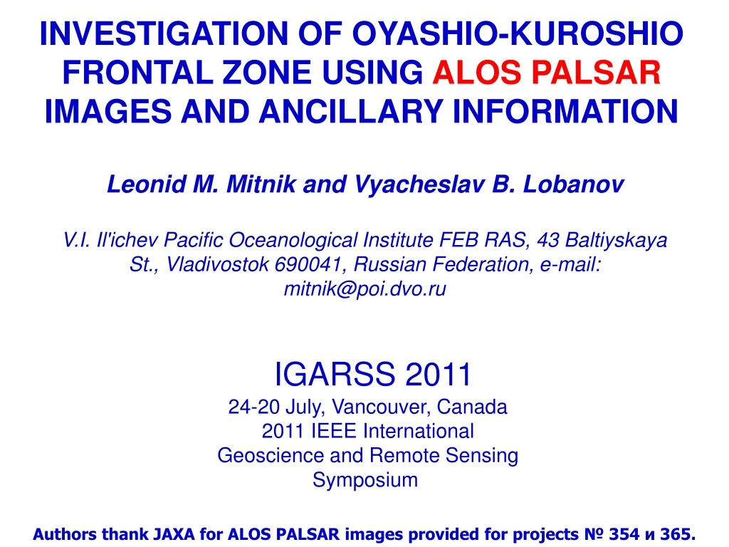
investigation of oyashio-kuroshio frontal zone using alospalsarimages and ancillary information Leonid M. Mitnik and Vyacheslav B. Lobanov V.I. Il'ichev Pacific Oceanological Institute FEB RAS, 43 Baltiyskaya St., Vladivostok 690041, Russian Federation, e-mail: mitnik@poi.dvo.ru IGARSS 2011 24-20 July, Vancouver, Canada 2011 IEEE International Geoscience and Remote Sensing Symposium Authors thank JAXA for ALOS PALSAR images provided for projects № 354 и 365.
Kuroshio-Oyashio transition zone The Kuroshio and Oyashio, which are the western boundary currents, have great influence on climate in the western North Pacific. The Kuroshio and the Oyashio meet in the Pacific ocean east of Japan and a complex oceanic feature associated with warm and cold eddies appears in this region. Therefore, the Kuroshio-Oyashio transition zone is sometime called "the confluence zone”. Oyashio water has low temperature, low salinity and is rich in nutrients compared with subtropical water. Since the large temperature difference between the Kuroshio and Oyashio waters, there appear many temperature fronts and eddies of various scales. This region is also well known as one of the good commercial fish grounds in the World ocean. Seasonal and interannual dynamics of the Oyashio and Kuroshio are closely linked to climate change and influence the migrations and fluctuations of fishes in the northwestern Pacific.
Kuroshio-Oyashio The eddies may persist in this region for periods ranging from several months to more than one year, and their occurrence and physical and biological evolution have a strong influence on the local climate, hydrography, and fisheries (Sugimoto and Tameishi, 1992; Yasuda et al., 1992). The occurrence and behavior of these mesoscale eddies are known to be related to both bottom topography and variability in currents They are monitored mainly via hydrography, satellite infrared images, and altimetry data. . While heat transport can occur by both warm and cold eddies and noneddy fluctuations, significant material transport only occurs via the movement of intense eddies that trap water within their core. Long-distance poleward movements of intense Warm Core Rings along the trenches play an important role in the exchange of salinity and nutrients between the subtropical and western subarctic gyres.
Geography and hydrography of the study region (a) Bottom topography (from Smith and Sandwell ,1997), (b) magnitude of mean geostrophic velocity (color scale) and mean dynamic height with 1500-db reference [gray contours in m; (Rio and Hernandez, 2000). Front lines (defined as bands of relatively strong mean geostrophic flows, denoted as the Subarctic Front (SAF) and the subarctic boundary (SAB) are represented by black dashed lines.
Schematic summary of the main hydrographic features of the Kuroshio-Oyashio Extension Region OY: Oyashiocurrent, OYI: southward intrusion of the Oyashio, WCR: warm-core ring, CCR: cold-core ring, CWA: coldwater area, KE: Kuroshio Extension, KBF: Kuroshio bifurcation front, TWC: Tsugaru Warm Current. S. Itoh and I. Yasuda, Characteristics of mesoscale eddies in the Kuroshio–Oyashio Extension Region detected from the distribution of the Sea Surface Height Anomaly, J. Phys. Oceanography, 2010, vol. 40, 1018-1034.
Schematic summary of the behavior of mesoscale eddies in the Kuroshio-Oyashio Extension Region Thin dashed arrows indicate movement directions. Flows of the Oyashio and the KE, the SAF, and the SAB are shown by solid gray lines; the deepest part of the Japan and Kuril–Kamchatka Trenches is depicted by a dashed gray line. WCR, CCR, KE, SAF, SAB, and TWC represent warm-core ring, cold core ring, theKuroshioExtension, Subarctic Front, subarctic boundary, and the Tsugaru Warm Current, respectively. (Itoh and Yasuda, 2010).
Pacific saury migration roots Oyashio subarctic front Thermal front in the transition zone Kuroshio front N. Ishiko, H. Kiyofuji and S.-i. Saito, Relationship between Pacific saury fishing grounds and the Oyashio front in the Northwestern Pacific Ocean
Hokkaido Itoh ,Yasuda, and Ueno, PICES, 2010
PALOS PALSAR ALOS was launched on January 2006 PALSAR characteristics PALSARoperates at wavelengh of 23.6 cm
Kuroshio-Oyashio transition zone NOAA-10 AVHRR infrared image acquired on 30 April 1987 (left) and Kosmos-1500 Real Aperture Radar image Hokkaido Hokkaido Honshu Cold Oyashio water Temperature Warm eddy Distance, km Resolution 1-2 km Mitnik L.M. and V.B. Lobanov (1991), Reflection of oceanic fronts on satellite radar images, Oceanography of Asian Marginal Seas, Kenzo Takano, Ed., Amsterdam, Elsevier, pp. 85-101.
Kuroshio-Oyashio and synoptic eddies Okean-7 X-band Real Aperture Radar (RAR) and NOAA AVHRR-derived SST. 20 November 1999. White rectangle marks the boundaries of RAR image. Wind speed to the south of Kuril Islands was 5-6 m/s. Anticyclonic eddy 1, warm Kuroshio waters 2 and cold Oyashio waters 2 are revealed due to high radar contrast. Fine details of SST field (such as warm streamer 4 and others) are clearly depicted on the RAR image. SST contrasts reach12°Cat the eddy boundary. Okhotsk Sea Okhotsk Sea 460 km Kuril Islands Kuril Islands Hokkaido 4 4 1 1 3 3 2 2 Resolution 1-2 km
Eddy on ERS-1 image Warm anticyclo-nic eddy in the Pacific Ocean generated by the Kuroshio Current. Hokkaido Honshu 23-Dec-1994 01:08 UTC The imaged area lies just east of theTsugaru Strait separating the Hokkaido and Honshu Islands in the Kuroshio-Oyashio transition zone. The transition zone exhibits strong mesoscale variability. This variability in the current system manifests itself in mesoscale meanders and eddies, which are generated in the frontal zone by instabilities. 100 km Pixel size 25 x 25 m
Kuroshio-Oyashio transition zone. 18 April 2006 (а) Sea surface temperature Sea surface wind speed (c) (b) Honshu (а) ALOS PALSARimage (b) NGSST map derived with MODIS, AVHRR and AMSR-E data (в)QuikSCAT-derived wind field
(a) (b) 6 3 Hokkaido 4 1 5 Honshu Honshu PALSAR image acquired on 18 April 2009 at 01:10 UTC; (b) sea surface temperature map for the same day submitted by Fishery Research Association. Red rectangle marks the PALSAR image boundaries. ALOS PALSAR. Anticyclonic eddy (б) (б) (а) (в) 290 км
(a) (b) 6 3 Hokkaido 4 1 5 Honshu Honshu ALOS PALSAR. Anticyclonic eddy (б) (б) (а) (в) 2 290 км PALSAR image acquired on 18 April 2009 at 01:10 UTC; (b) sea surface temperature map for the same day submitted by Fishery Research Association. Red rectangle marks the boundaries of PALSAR image. 1 – warm waters, 2- cold waters , 3 – warm streamer, 4-6 and 5 – cold small eddies, 6 – warm small eddy.
(c) (d) Hokkaido 6 6 4 4 5 5 Honshu Honshu Aqua MODIS. 19 April 2009, 03:40 UTC (c) Infrared image (31-st channel) and (d) chl-a field 3 3 1 2 1 2 1 – warm waters, 2- cold waters , 3 – warm streamer, 4 and 5 – cold small eddies, 6 – warm small eddy. Reddotted rectangle marks the boundaries of PALSAR image.
(а) (а) ALOS PALSARimage in ScanSAR mode. 18 April, 01:10 UTC. (b) METOP ASCAT-derived wind field. Fragments I and II. 1: warm eddy, 2: cold waters, 3: warm streamer. Fragment III: cold eddy 4 II I III 3 2 2 1 4 1 II I 3 Honshu 2 (b) 2 Hokkaido 1 1
Transition zone Kuroshio-Oyashio.18 -19 April 2009 (b) (а) 2 4 3 1 Honshu (c) 2 4 1 1300 km (а) NOAA AVHRR infrared images acquired on 19 April (b) SST for 18 April, Fishery Research Association (Japan) (c) Aqua MODISchl-a concentration for 19 April at 03:35 UTC Red dotted rectangle marks the boundaries of PALSAR image.
Fragment III. Spiral anticyclonic eddy 4 ALOS PALSAR18 April 2009 at 01:10 UTC
Kuroshio-Oyashio transition zone 4-5 May 2010 (а) (b) Hokkaido Honshu (c) Honshu Clouds Honshu (а) NOAA AVHRR infrared image taken on 4 May (b) Agua MODIS-derived SST, 4 May. (c) NGSST, retrieved with Aqua MODIS, NOAA AVHRRand Aqua AMSR-E data for 5 May. Red dotted rectangles mark the boundaries of PALSAR image.
Terra MODIS visible image. 5 May 2010, 01:25 UTC. sun glint area boundaries of PALSAR image 25 km
Kuroshio-Oyashio transition zone on 5 May 2010 146°40‘E 146°20‘E (а) Terra MODIS 01:25 Гр. Hokkaido (c) (b) 40°20‘N 40°00‘N 50 км • ALOS PALSAR image at 00:49 UTC in Fine beam mode (pixel size is 14 m), • Terra MODIS infrared (31-st channel) image at 01:25 UTC and • MetOp ASCAT-derived wind field at 11:55 UTC. Red rectangles mark the PALSAR image boundaries. 39°40‘N 70 km 39°20‘N
(b) (a) Hokkaido (c) 1 2 1 2 2 1 4 3 4 5 3 6 5 3 6 70 km 142E 146E 150E Kuroshio-Oyashio transition zone. 5 May 2010 Honshu 50 km (a) ALOS PALSAR image at 00:49 UTC in Fine beam mode (pixel size is 14 m)and Terra MODIS (b) infrared (31-st channel) and (c) visible images at 01:25 UTC. Red dotted rectangles mark the PALSAR image boundaries. 1 - warm anticyclonic eddy, the size of ≈30 km; 2 - warm streamer; 3 - warm eddy.High correlation between the infrared (SST) and visible (Chl-a) images is observed within the broader sun glint area far beyond the PALSAR image boundaries, in particular, for warm eddies 4 and 5, cold streamer 6 and other features.
Radar contrasts in a tail of anticyclonic eddy A A м Gray level 2 km Alternating bands of calm (dark) and roughened (gray) water caused SST variations or roll convection in the boundary layer of the atmosphere. Band width is approximately 300-500 m. 500 m
Conclusions • Structure of the Kuroshio-Oyashio transition zone is revealed on satellite radar images obtained at X, C and L-bands (Kosmos RAR, ERS-1/2, Envisat, ALOS), on infrared and visible images obtained by various sensors (MODIS, AVHRR, …). • Warm eddies are characterized by the lower values of chl-a concentration and increased values of the NRCS against the surrounding colder waters. SST contrasts of these eddies can reach 6-8 and more Celsius. Chl-a concentration in cold Oyashio waters can reach 1 mg/m3 and more. • Variations in ocean color and in the sea surface roughness are responsible for eddy detection on visible images in sun glint and surrounding areas. • Relationship between NRCS and the SST can be explained by the variations in stability of the air flow above the sea surface caused by changes in SST, the close connection between surface film concentration and SST field, the changes of relative wind speed over the moving waters, and other factors (dependence of water viscosity on the SST, etc). The determination of the relative contribution of each of above mechanisms in radar contrast formation at various wavelength and polarizations is a complicated problem and requires special satellite and ground truth experiments.