Global Data Integration for Human-Environment Interactions
Explore the importance of publicly available spatial data integration for disaster risk, climate change impacts, and sustainable development. Discover solutions for data interoperability and standards to address natural hazards, economic losses, and emerging infectious diseases globally.

Global Data Integration for Human-Environment Interactions
E N D
Presentation Transcript
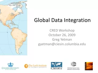
World Data Center for Human Interactions in the Environment Global Data Integration CRED Workshop October 26, 2009 Greg Yetman gyetman@ciesin.columbia.edu
Focus on the need for publicly available, spatially integrated framework data • Best Solutions? • Interoperable services, data standards http://sedac.ciesin.columbia.edu/GSDworkshop/
Administrative Units by Region *Census blocks (8 million units) have now been processed for the United States
GRUMP Points 55,000 places with population estimates
The Global Disaster Risks Hotspots study completed in 2005-06 compared mortality risks from 6 major natural hazards (floods, drought, cyclones, earthquakes, volcanoes, and landslides) taking into account exposed population and associated vulnerability on a 2.5’ x 2.5’ grid. Natural Disaster Hotspots Data integration - Hazards data (risk and occurrence) - Exposure data (pop) - EM-DAT data on mortality
Natural Disaster Hotspots The hotspots analysis also revealed significant economic loss “hotspots” in both developed and developing countries, comparable to levels of development assistance. Data integration - Hazards data (risk and occurrence) - Exposure data (GDP PPP) - EM-DAT data on economic losses
Available as Open Map Services http://sedac.ciesin.columbia.edu/mapviewer/index.jsp?cntx=Hazards.xml
Drought Counts by Admin UnitGeoreferenced from EM-DAT Drought Events 1 - 2 3 - 4 5 - 6 7 - 9 1969-2004
Drought Indicators:Standardized Precipitation Index Drought Events 1 - 4 5 - 6 7 - 8 9 - 11 12 - 18 1952-2007
Can we build a better roads database? • gROADS: • - Sponsored project of • CODATA and UN- • GAID • - Aiming for improved • accuracy, completeness, • topological integration, • update frequency, • accessibility • Current focus: GPS data • collection in Ethiopia funded • by Gates Foundation
Will Climate Change Lead to Mass Migration? • Data integration • - Spatial drivers of migration • Qualitative data on • migration • Need to find way to get • better data!
Vietnam Cambodia Ho Chi Min City + low elevation coastal buffer How many people are exposed to potential sea-level rise? Data integration - global sea-level - subnational population, gridded
Which countries are most environmentally sustainable? Partnership with Chinese Academy of Environmental Planning exploring options within China Data integration - over 115 global environmental data sets
Where are the next emerging infectious diseases likely to strike? • List activities here • Data integration • - spatial database over 500 emerging • diseases • Spatial data on drivers, including • human and wildlife population
Does climate stress make war more likely? Data integration - Georeferenced civil war incidence - Precipitation, runoff grid
What our future holds • Improving ability to explain complex dynamics – interactions across multiple spatial time series • Land cover change • Hazard vulnerability • Water scarcity • Improving ability to monitor the things that matter most • Food and water security • Soil fertility • Migration • Improving ability to project into the future • Emerging diseases • Urbanization patterns • Drivers of climate change vulnerability • Political instability early warning