Download
1 / 31
Télécharger la présentation 
Geologic Provinces of North America: Exploring Wilson Cycle, North American Craton, and Orogenies
An Image/Link below is provided (as is) to download presentation
Download Policy: Content on the Website is provided to you AS IS for your information and personal use and may not be sold / licensed / shared on other websites without getting consent from its author.
Content is provided to you AS IS for your information and personal use only.
Download presentation by click this link.
While downloading, if for some reason you are not able to download a presentation, the publisher may have deleted the file from their server.
During download, if you can't get a presentation, the file might be deleted by the publisher.
E N D
Presentation Transcript
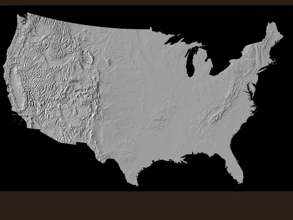
References: • Wilson Cycle image, North American Craton image, and Digital Shaded relief maps and province descriptions (including images) from the USGS web page: http://wrgis.wr.usgs.gov/docs/parks/province . Accessed 10/25/05 • Cross sections of orogenies from Prof. Ron Blakey’s (NAU) website: http://jan.ucc.nau.edu/~rcb7/RCB.html. Accessed 12/25/05 • Paleomaps from Ron Blakey’s website; maps are largely based on work by C. R. Scotese, PALEOMAP Project www.scotese.com.


More Related