
Map Projections: Overview, Examples, and Coordinate Systems
Learn about map projections, coordinate systems, and datums. Explore different projection properties, such as shape, distance, true direction, and area. Discover examples of Albers Conic and Lambert Azimuthal Equal Area projections.

Map Projections: Overview, Examples, and Coordinate Systems
E N D
Presentation Transcript
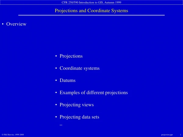
Overview Projections Coordinate systems Datums Examples of different projections Projecting views Projecting data sets_
Projections • The earth is a spheroid • The best model of the earth is a globe • not easy to carry • not good for planimetric measurement • Maps are flat • easy to carry • good for measurement • Map projections are created to “project” data from a sphere onto a planar surface_
Projections an imaginary light is “projected”on a “developable surface” _
secant cone tangent cone • Projections cone as developable surface
tangent cylinders • Projections cylinder as developable surface
Projections plane as developable surface
Projections • Map projections always introduce error and distortion Distortion may be minimized in one or more of the following properties: Shape > conformal Distance > equidistant True Direction > true direction Area > equal area
Projections • Exactly what are map projections? Sets of mathematical equations that convert coordinates from one system to another unprojected projected
Projections • How do projections work on a programmatic level? each set of coordinates is transformed using a projection equation
Projections • How does ArcView handle map projections in views? A view projection does not change data on the disk. Applying a projection on a view projects lat/long data “on the fly.” ArcView’s view projection equations expect input X and Y values in lat/long decimal degrees. Using projected input data will result in corrupted output. Projected and unprojected data cannot be used in the same view._
Projections • How does ArcView handle map projections for data? Projecting data creates a new data set on the disk Data can be projected so that incompatibly projected data can be made to match. ArcView’s projection engine can go in and out of a number of different projections, coordinate systems, and datums. Projected and unprojected data still cannot be used in the same view._
Coordinate systems • data on spherical surfaces are not easy to measure • data on planes are easy to measure and calculate • distance • angle • area_
Coordinate systems Lat/long system uses angular measurements on spheres
Coordinate systems GIS software uses planar measurements onCartesian planes
Coordinate systems • Examples of different coordinate/projection systems • State Plane • Universal Transverse Mercator_
Coordinate systems • State Plane • Codified in 1930s • Use of numeric zones for shorthand • SPCS (State Plane Coordinate System) • FIPS (Federal Information Processing System) • Uses one or more of 3 different projections: • Lambert Conformal Conic (east-west orientation ) • Transverse Mercator (north-south orientation) • Oblique Mercator (nw-se or ne-sw orientation) • False X-origin for positive X-coordinates • Low Y-origin for positive Y-coordinates_
Washington State Plane zone definitions • Coordinate systems • State Plane
Coordinate systems • Universal Transverse Mercator false eastings 6° wide zones
Coordinate systems • Universal Transverse Mercator Washington state is in Zones 10 & 11
Datums Used to increase accuracy in local areas
Datums Commonly used datums in North America • North American Datum of 1927 (NAD27) • NAD83 • NAD83/91 • High-Precision GPS Network (HPGN) • High-Accuracy Reference Network (HARN • World Geodetic System of 1984 (WGS84)
Examples of different projections AlbersConic Properties Shape Shape along the standard parallels is accurate and minimally distorted in the region between the standard parallels and those regions just beyond. The 90-degree angles between meridians and parallels are preserved, but because the scale along the lines of longitude does not match the scale along lines of latitude, the final projection is not conformal. Area All areas are proportional to the same areas on the Earth. Direction Locally true along the standard parallels. Distance Distances are best in the middle latitudes. Along parallels, scale is reduced between the standard parallels and increased beyond them. Along meridians, scale follows an opposite pattern.
Examples of different projections LambertAzimuthalEqual AreaPlanar Properties Shape Shape is true along the standard parallels of the normal aspect (Type 1), or the standard lines of the transverse and oblique aspects (Types 2 and 3). Distortion is severe near the poles of the normal aspect or 90° from the central line in the transverse and oblique aspects. Area There is no area distortion on any of the projections. Direction Local angles are correct along standard parallels or standard lines. Direction is distorted elsewhere. Distance Scale is true along the Equator (Type 1), or the standard lines of the transverse and oblique aspects (Types 2 and 3). Scale distortion is severe near the poles of the normal aspect or 90° from the central line in the transverse and oblique aspects.
Examples of different projections MercatorCylindrical Properties Shape Conformal. Small shapes are well represented because this projection maintains the local angular relationships. Area Increasingly distorted toward the polar regions. For example, in the Mercator projection, although Greenland is only one-eighth the size of South America, Greenland appears to be larger. Direction Any straight line drawn on this projection represents an actual compass bearing. These true direction lines are rhumb lines, and generally do not describe the shortest distance between points. Distance Scale is true along the Equator, or along the secant latitudes.
Examples of different projections MillerCylindrical Properties Shape Minimally distorted between 45th parallels, increasingly toward the poles. Land masses are stretched more east to west than they are north to south. Area Distortion increases from the Equator toward the poles. Direction Local angles are correct only along the Equator. Distance Correct distance is measured along the Equator.
Examples of different projections MollweidePseudo-Cylindrical Properties Shape Shape is not distorted at the intersection of the central meridian and latitudes 40° 44' N and S. Distortion increases outward from these points and becomes severe at the edges of the projection. Area Equal-area. Direction Local angles are true only at the intersection of the central meridian and latitudes 40° 44' N and S. Direction is distorted elsewhere. Distance Scale is true along latitudes 40°44' N and S. Distortion increases with distance from these lines and becomes severe at the edges of the projection.
Examples of different projections Orthographic Properties Shape Minimal distortion near the center; maximal distortion near the edge. Area The areal scale decreases with distance from the center. Areal scale is zero at the edge of the hemisphere. Direction True direction from the central point. Distance The radial scale decreases with distance from the center and becomes zero on the edges. The scale perpendicular to the radii, along the parallels of the polar aspect, is accurate.
Examples of different projections RobinsonPseudo-Cylindrical Properties Shape Shape distortion is very low within 45° of the origin and along the Equator. Area Distortion is very low within 45° of the origin and along the Equator. Direction Generally distorted. Distance Generally, scale is made true along latitudes 38° N and S. Scale is constant along any given latitude, and for the latitude of opposite sign.
Projecting views start with unprojected data_
Projecting views then apply a projection to the view_
UTM GhanaMetreGrid Lake Victoria is not in central Africa • Projecting spatial data sets Data may not be compatible
Projecting spatial data sets Start the ArcView Projection Utility
Projecting spatial data sets Start the ArcView Projection Utility
Projecting spatial data sets Select data set to project
Projecting spatial data sets Define current projection
Projecting spatial data sets Define output projection
Projecting spatial data sets Define output file
UTM Lake Victoria is in east Africa • Projecting spatial data sets Data sets are now compatible


