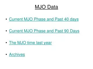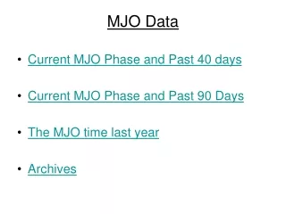
MJO
MJO. A presentation brought to you by Laurel Kessler. This graph is for the entire Atlantic basin for years 2001-2010.


MJO
E N D
Presentation Transcript
MJO A presentation brought to you by Laurel Kessler
This graph is for the entire Atlantic basin for years 2001-2010. • The black average line was found by determining the correlation between the hurricane index and sine function of a single year. The hurricane index was then shifted by 15 days in both directions while the sine function stayed constant. Once correlation values for each lag time (15 days, 10 days, -10 days etc) were found for a single year, they were averaged with the correlation values of the other years to obtain a single average value for a lag time which is plotted above. • The STD Plus and Minus lines were found by taking the standard deviation of the years 2001-2010 found by the same method as above and subtracting or adding the standard deviation to the average correlation value. (Again, each single year’s correlation value was found independently before it was averaged. • The red Whole Year MJO line was found by doing the correlation between the hurricane index and sine function for the entire data set (Feb 1 2001- Nov 30 2001) all at once, instead of correlating each year separately like we did above. Again, the hurricane index was shifted by days and the correlation values were recorded. • The Whole Year Kill MJO 3 months and 5 months were also found by finding the correlation of the entire data set 2001-2010, but in the 3 month kill Feb-April were “killed” while in the 5 month plot Jan-May were “killed.” (Killed by multiplying the sine function by 0-1 values to taper it off in months of low hurricane activity)
This graph is for the entire Eastern Pacific basin for years 2001-2010.
This graph is for the Western half of the Atlantic basin for years 2001-2010.
This graph is for the Eastern half of the Atlantic basin for years 2001-2010.
This graph is for the Western half of the Eastern Pacific basin for years 2001-2010.
This graph is for the Eastern half of the Eastern Pacific basin for years 2001-2010.
This graph is for the entire Atlantic basin for years 2001-2010. • We changed the original sine function to have a range of values which we called the index lag. Then we applied the 5 month kill MJO to these new functions for each year. We combined the years 2001-2010 and did the correlation between the hurricane index and new sine function (with index lag and kill MJO), with no shifting of the hurricane index. One correlation value was found for each index lag plugged into the sine function and correlated over the entire year.
This graph is for the entire Eastern Pacific basin for years 2001-2010.
This graph is for the western Atlantic basin for years 2001-2010.
This graph is for the eastern Atlantic basin for years 2001-2010.
This graph is for the western Eastern Pacific basin for years 2001-2010.
This graph is for the eastern Eastern Pacific basin for years 2001-2010.