
Uploaded by
albin
12 SLIDES
1500 VUES
590LIKES
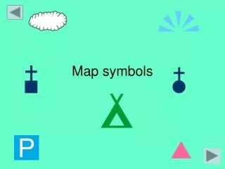
Map Symbols
DESCRIPTION
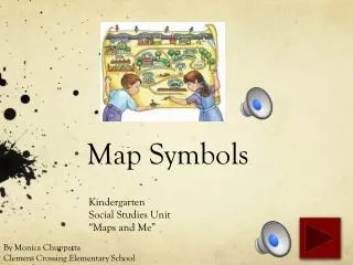
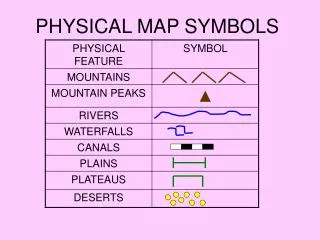
Map Symbols. Kindergarten Social Studies Unit “Maps and Me”. By Monica Chuppetta Clemens Crossing Elementary School. Maps have little pictures on them called symbols. A symbol is something that stands for something else. On this map, the gray lines are a symbol for roads.
Download
1 / 12
Télécharger la présentation 
Map Symbols
An Image/Link below is provided (as is) to download presentation
Download Policy: Content on the Website is provided to you AS IS for your information and personal use and may not be sold / licensed / shared on other websites without getting consent from its author.
Content is provided to you AS IS for your information and personal use only.
Download presentation by click this link.
While downloading, if for some reason you are not able to download a presentation, the publisher may have deleted the file from their server.
During download, if you can't get a presentation, the file might be deleted by the publisher.
E N D
Presentation Transcript
Map Symbols Kindergarten Social Studies Unit “Maps and Me” By Monica Chuppetta Clemens Crossing Elementary School
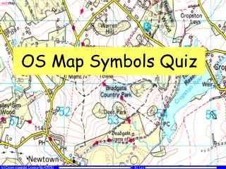
With so many different maps, how do we know what each symbol stands for?
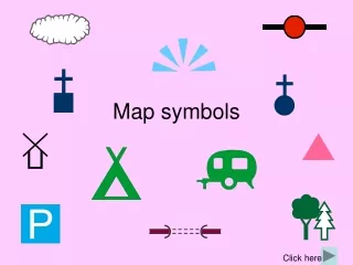
Each map has a key. The key tells us what each symbol stands for.
The key shows us the symbols used on this map of a neighborhood.
Nice job following along! Remember, a symbol stands for something else on a map. The key on a map shows us what each symbol is for.


More Related