SlideServe
Menu
Préférences
© SlideServe · v2026

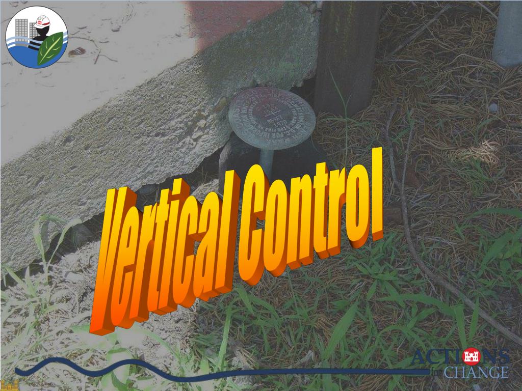
Vertical Control

alexa-ratliff avatar
11 diapositives · 298 Views · Nov 18, 2014

Vertical Control. Vertical Datums. A vertical datum is used for measuring the elevations of points on the earth's surface. Geodetic Datums (NGVD29, NAVD88) Hydrologic Datums (LWRP, IGLD) Tidal Datums (MSL or LMSL, MLLW, MHW) Local (Cario, Memphis Datum) Ellipsoid (Space-based) Surfaces.
Vertical Control - slide 1
01 / 11Vertical Control
1 / 17

Télécharger la présentation

Vertical Control
Une image / un lien ci-dessous est fourni (tel quel) pour télécharger la présentation

Politique de téléchargement : le contenu du site vous est fourni TEL QUEL pour votre information et votre usage personnel ; il ne peut être vendu, concédé sous licence ni partagé sur d’autres sites sans l’accord de son auteur.Le contenu vous est fourni TEL QUEL, pour votre information et votre usage personnel uniquement. Téléchargez la présentation en cliquant sur ce lien. Lors du téléchargement, si vous ne parvenez pas à télécharger une présentation, l’éditeur a peut-être supprimé le fichier de son serveur.Pendant le téléchargement, si vous ne parvenez pas à obtenir une présentation, le fichier a peut-être été supprimé par l’éditeur.

F I N

Plus de contenu associé

Transcription de la présentation
  1. Vertical Control

  2. Vertical Datums

  3. A vertical datum is used for measuring the elevations of points on the earth's surface. Geodetic Datums (NGVD29, NAVD88) Hydrologic Datums (LWRP, IGLD) Tidal Datums (MSL or LMSL, MLLW, MHW) Local (Cario, Memphis Datum) Ellipsoid (Space-based) Surfaces Vertical Datums Influenced by Gravity Not Influenced by Gravity

  4. Vertical Datums Orthometric HeightsComparison of Vertical Datum Elements • NGVD 29NAVD 88 DATUM DEFINITION 26 TIDE GAUGES FATHER’S POINT/RIMOUSKI • IN THE U.S. & CANADA QUEBEC, CANADA BENCH MARKS 100,000 450,000 LEVELING (Km) 102,724 1,001,500 TIDAL EPOCH None 1960 - 1978 GEOID FITTING Distorted to Fit MSL Gauges Best Continental Model

  5. National Vertical Network Early 1900s NAVD88 NGVD29 SLD29 The Sea Level Datum of 1929 was referenced to 26 tide gages in the US and Canada ~100,000 km The North American Vertical Datum of 1988 is referenced to 1 tide gage on the St. Lawrence Seaway 1,000,000+ km The Sea Level Datum of 1929’s name was changed to the National Geodetic Vertical Datum in 1973

  6. -11 cm 125 cm -23 cm 102 cm 85 cm -11 cm 70 cm 4 cm -23 cm NAVD 88 Referenced to 1 Tide Gage (Father’s Point) NGVD 29 Referenced to 26 Tide Gages NAVD88 minus LMSL(1960-1978)

  7. Vertical Segment of the NSRS • NOAA's National Geodetic Survey (NGS) defines and manages a national coordinate system. • This network, the National Spatial Reference System (NSRS), provides the foundation for our spatial infrastructure • NGS develops Federal standards for geodetic surveys and helps to coordinate surveying methods. • NGS State Geodetic Advisors are stationed in several states to work with local communities to expand surveying capabilities.

  8. PBM ALCO Changing Elevations in a Dynamic Environment

  9. Changing Elevations in a Dynamic Environment

  10. Questions? Additional Information Available at: http://crunch.tec.army.mil/information/SM_CoP/ndsp james.k.garster@usace.army.mil mark.w.huber@usace.army.mil