Download
1 / 13
130 likes | 142 Vues
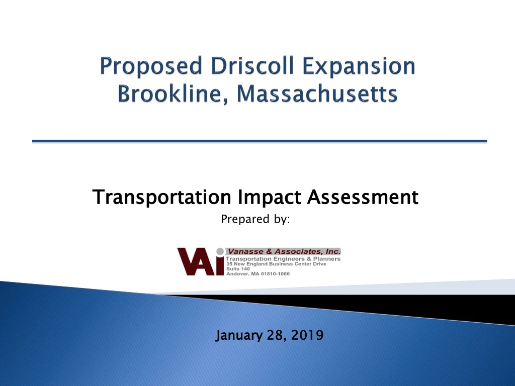
This transportation impact assessment evaluates the traffic conditions and proposes recommendations for the proposed Driscoll Expansion project in Brookline, Massachusetts.

E N D
Proposed Driscoll Expansion Brookline, Massachusetts Transportation Impact Assessment Prepared by: January 28, 2019
Traffic Agenda Items • Area of Study • Existing Conditions • Traffic Generation • Recommendations
2018 Existing Conditions – Weekday MorningSchool Peak Hour Traffic Volumes ( 7:30-8:30 AM) Note: - Imbalances exist due to numerous curb cuts and side street that are not shown. - Numbers indicate vehicles at intersections during a one hour period.
2018 Existing Conditions – Weekday Afternoon School Peak Hour Traffic Volumes ( 2:00-3:00 PM) Note: - Imbalances exist due to numerous curb cuts and side street that are not shown. - Numbers indicate vehicles at intersections during a one hour period.
2018 Existing Conditions – Weekday MorningSchool Peak Hour Pedestrian Volumes ( 7:30-8:30 AM) Note: Numbers indicate both school and non school pedestrians during a one hour period.
2018 Existing Conditions – Weekday AfternoonSchool Peak Hour Pedestrian Volumes ( 2:00-3:00 PM) Note: Numbers indicate both school and non school pedestrians during a one hour period.
Trip Generation Summary ¹ Numbers Represent – Staff, Buses and Parent Vehicles. ² Note: 26% increase in Students. Assume 30% increase in Traffic. ³ Increase includes staff and student drop-off/pick up.
Recommendations • Project Area Access • Main Driveway Off Washington Street • A Bus Drop-off Area Off Washington Street • Parent Drop-Off along Westbourne Terrace and Washington Street • Off-Site • Crossing Guards • Salisbury Road • Area Sidewalk Upgrades • Washington Street • Westbourne Terrace • School Drop-Off and Pick-Up Traffic Management Plan • School Staff Should Be Stationed at The Drop-off • A Designated Drop-off/Pick-up Area • Encourage Carpooling • Parents and Caregivers Will Be Given Information on School Drop-off and Pick-up Times and Procedures
Recommendations • School Zone Signage • Washington Street • Westbourne Terrace • Bicycle Considerations • Bicycle Racks Should Be Provided – Interior/Exterior • Shower Facilities • Transit Usage • Promote staff usage • Town TDM plan • Traffic Monitoring • Within three months after school opening and annually • Pedestrian safety • Crossing guards • Construction Management Plan • A detailed Construction Management Plan should be prepared and reviewed by the Town
Summary • SUMMARY • Safe Environment Can Be Maintained • Delays and Queues - Limited to Short Periods • Traffic Conditions Will Be Manageable