Download

1 / 14
140 likes | 227 Vues
This presentation discusses modeling and evaluating best management practices (BMPs) for stormwater management in Austin, TX. Topics include BMP effectiveness, groundwater recharge, peak flow reduction, and pollution and sediment reduction, with examples such as vegetated buffer strips, porous pavements, and cisterns.

E N D
Modeling and Evaluating Best Management Practices in Austin, TX Presented by Lauren Schneider Environmental and Water Resources Engineering November 30, 2004
BMP Background • Used for storm water management • Need for small, on-site systems • Effectiveness • Groundwater Recharge • Peak Flow Reduction • Pollution and Sediment Reduction • Examples • Vegetated Buffer Strips • Porous Pavements • Cisterns http://rainbarrelguide.com/ CA Stormwater BMP Handbook Federal Highway Administration
Bioretention (Rain Garden) Dr. Moglen, University of Maryland
Inflow from Ac S W Ho Lb nl Hb Trench Box (crushed stone) L My Past Research • Goal: Determine storms needed to verify a BMP model • Infiltration trench model based on continuity • Indicators of effectiveness • Rp ~ 50% • Et ~ 75% • Rv ~ 70%
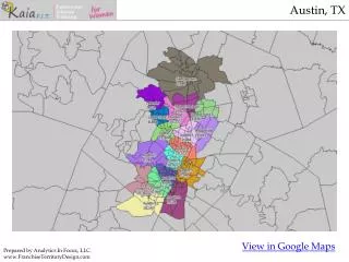
Goal and Objectives • Problem: Effectiveness of implemented BMPs is unknown • Long-Term Goal: Using a verified model, evaluate the effectiveness of current and future BMPsinstalled in Austin. • Objectives • Develop and verify a model • Use GIS to determine drainage area characteristics • Develop a process for GIS inputs to model • Determine ineffective BMPs for study
Necessary Data • Soil Type (Statsgo) • BMP data for Austin (Ellen Wadsworth of the city of Austin • 10-m DEM (USGS) • Land Use (USGS)
Terrain Processing Create Subwatersheds Process
Clip Land Use to Subwatersheds Determine Soil Type in Each Subwatershed Process
Calculate Overall CN Per Subwatershed Process Source for CN: R.H. McCuen, Hydrologic Analysis and Design
Inputs from GIS to Model • Drainage Area
Inputs from GIS to Model • Slope • SCS Curve Number (CN) • Rainfall data for Austin
Example of Results • One BMP (ID 5) was examined • Two variables were varied • Drainage Area (1.95 to 4.13 acres) • CN (94 to 85) • One example: Et
Conclusions and Future Work • Conclusions • Developed a possible process • Drainage Area and CN are significant • Drainage Area can vary greatly • Future Work • Verify the model • Obtain more information about installed BMPs • Use better data for terrain processing • Determine best process for drainage area
Acknowledgements • Dr. Maidment • Ellen Wadsworth • Christine Dartiguenave