Download
1 / 9
90 likes | 224 Vues
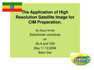
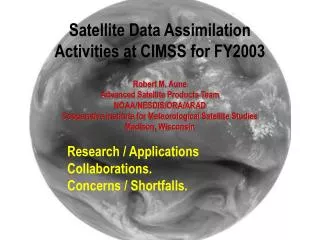
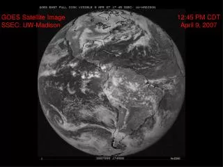
This collection features a series of GOES satellite images captured by the Space Science and Engineering Center (SSEC) at the University of Wisconsin-Madison on April 9 and 10, 2007. The images mark various times throughout the two days, illustrating atmospheric conditions and changes. Notably, there are dark images indicating no data was captured during specific times. This historical data is essential for analyzing weather patterns and satellite technology's evolution.

E N D
GOES Satellite ImageSSEC: UW-Madison 12:45 PM CDTApril 9, 2007
GOES Satellite ImageSSEC: UW-Madison 3:45 PM CDTApril 9, 2007
GOES Satellite ImageSSEC: UW-Madison 6:45 PM CDTApril 9, 2007
GOES Satellite ImageSSEC: UW-Madison 9:45 PM CDTApril 9, 2007
GOES Satellite ImageSSEC: UW-Madison 12:45 AM CDTApril 10, 2007 No image DARK!
GOES Satellite ImageSSEC: UW-Madison 3:45 AM CDTApril 10, 2007
GOES Satellite ImageSSEC: UW-Madison 6:45 AM CDTApril 10, 2007
GOES Satellite ImageSSEC: UW-Madison 9:45 AM CDTApril 10, 2007
GOES Satellite ImageSSEC: UW-Madison 12:45 PM CDTApril 10, 2007