Download
1 / 16
170 likes | 206 Vues
This presentation introduces training programs on administrative data and geospatial information at EASTC, discussing the challenges faced by trainers. The training aims to produce competent professionals in official statistics and agricultural statistics for sustainable development in Africa.

E N D
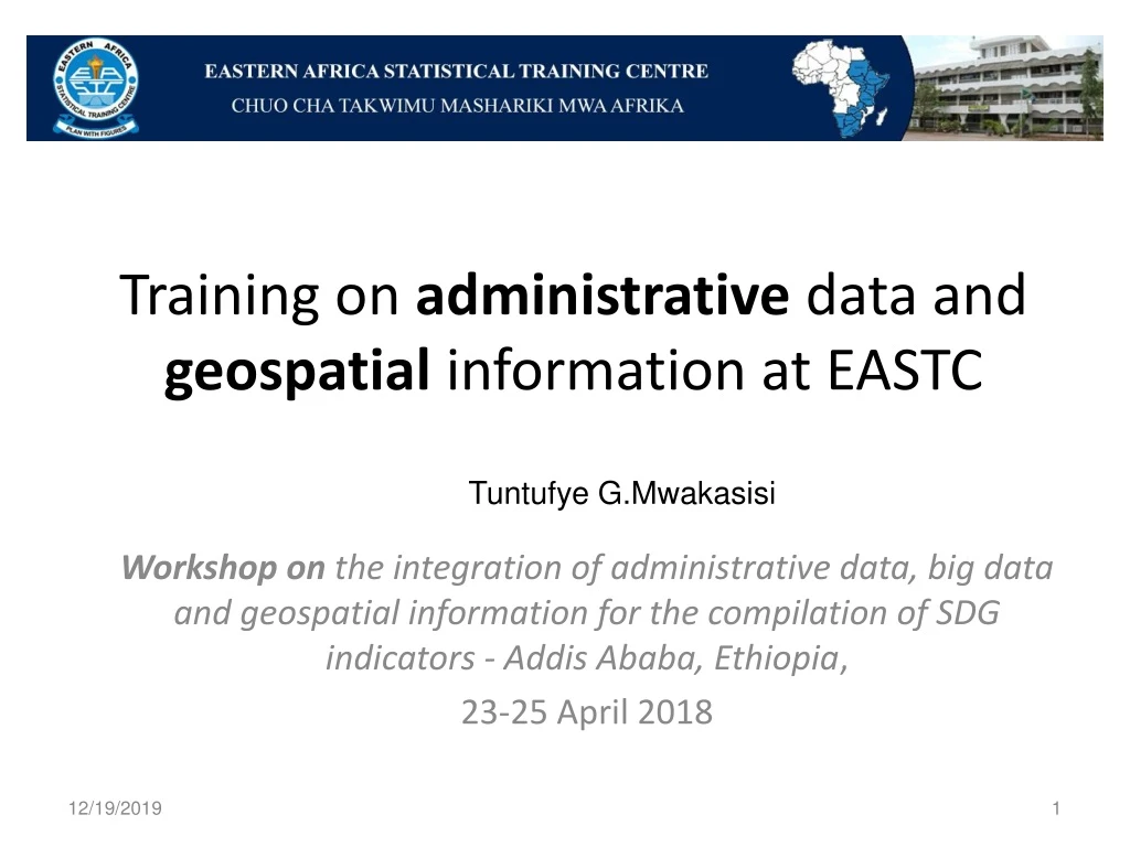
Training on administrative data and geospatial information at EASTC Tuntufye G.Mwakasisi Workshop on the integration of administrative data, big data and geospatial information for the compilation of SDG indicators - Addis Ababa, Ethiopia, 23-25 April 2018
Outline of the Presentation • Introduction • Training on administrative data at EASTC • Training on geospatial information at EASTC • Challenges of Trainers • Conclusion
Introduction Geospatial information for Sustainable Development in Africa is the implementation of the United Nations initiative on Global Geospatial Information Management for Africa In recognizing this theme, Eastern Africa Statistical Training Centre as the regional institution in the field of official statistics has already started trainings on administrative data and Geospatial information in its modules. The training is offered at all level from master’s and bachelor degrees, diploma as well as certificate level
Introduction Training at the bachelor’s level is geared towards producing highly motivated, responsible and creatively innovative professional graduates to deal with the production and use of reliable official statistics( Trade Statistics, Industrial Statistics and Environment statistics) in the 19 member states (Botswana, Ethiopia, Kenya, Lesotho, Malawi, Seychelles, Somalia, Swaziland, Tanzania, Uganda, Zambia, Zimbabwe, South Africa, Mauritius, Namibia, Eritrea, Sudan, South Sudan and Gambia).
Introduction Training at master’s level is designed to produce competent, responsible and innovative strategic statistical professionals and managers who will work at senior levels as official statisticians (in the field of Agricultural Statistics and Environment statistics), decision makers, and administrators of National Statistical Systems (NSS), sub-systems, schemes and programmes designed to respond to the statistical demands of African Nations in the Eastern and Southern Africa region.
Training on Administrative Data at EASTC Students at lower levels such as diploma and certificates, are introduced to the concept of administrative data as one source of data. With further clarifications on other sources of data such as the census and sample survey. In the Master level, students are exposed on how they can apply administrative data for various uses in statistics.
Training on Geospatial information at EASTC The subject is taught at the Master level (Masters of Agricultural Statistics -MAS) The subject aims at exposing students to remote sensing and its application on Agricultural statistical system in the country Students are exposed to application of remote sensing and GIS in Agriculture which include: Soil sensing, farm classification, farm condition assessment, agriculture estimation, Mapping of farm and agricultural land characteristics, Mapping of land management practices & Compliance monitoring
Also students are exposed on the use of remote sensing on management of natural resources such as: • Biodiversity, forest, deforestation, water source management, pest/disease outbreaks, impervious surface mapping, environmental assessment, hydrology, mineral province & geomorphology
Basic concepts taught in this module include: Remote Sensing, Spectral signatures of natural targets in optical and thermal regions, physical basis of signatures, spectral indices. Platforms, orbits, classification of sensors, satellite characteristics, pixel size, and scale, spectral, radiometric and temporal resolution
Weather, land, ocean and other observation satellites, remote sensing satellites, data reception, data products Image analysis: Visual interpretation, digital image processing, pre-processing, enhancement, transformations, classification, accuracy, integration, processing of hyper spectral and microwave images
In Crop Production; Core livestock items; Core aquaculture and fisheries products; Core forestry production; Forestry; Aquaculture and capture fisheries; The scope of agricultural statistics which include use of water for agricultural purposes, including irrigation and other uses, the source of irrigation water, the land under irrigation, the irrigation method, and the resulting production
Challenges of Trainers EASTC like other STCs faces shortage of teaching staff in the respective field. Absence of GIS laboratory and its components such as: workstation computers, high capacity laptops, photogrammetric scanner, GPSs, Digitizers, and tablets which result into failure of students to acquire practical knowledge from the field EASTC is requesting training of trainers workshops for STAFF so as to build internal capacity in the field of geoinformation/geostatistics
EASTC has been collaborating with other institutions in ensuring that we provide quality knowledge to her beneficiaries, such institutions include: • NBS-Tanzania, Department of Agricultural Engineering (SUA), Institute of Resource Assessment (UDSM), Esri just to mention few.
Conclusion EASTC appreciates UNECA(United Nations Economic Commission for Africa, United Nations Statistical Divisions, and UN-Environment) ,EAC Secretariat, and other countries’ and NSO’s representative for facilitating the workshop on “ Integration of administrative data, big data and geospatial information for compilation of SDGs indicators”. We believe that the workshop will assist EASTC in the process of improving the training process in the respective areas so as meet the SDGs indicators.
Dear participants, before concluding this presentation; I would like to share with you other programmes offered at EASTC • Masters of Official Statistics(MOS) • Masters in Agricultural Statistics (MAS) in collaboration with Sokoine University of Agriculture (SUA)-TANZANIA. • Bachelors of Official Statistics • Diploma in Statistics • Certificate in Data Collection
Thank you for Your Attentive Listening For more information about other EASTC activities visit http://www.eastc.ac.tz/