Download
1 / 13
130 likes | 210 Vues
MAP OF UNITED KINGDOM. Illustrations of country, regions and prefectures. MAP OF UNITED KINGDOM – REGIONS & PREFECTURES. SCOTLAND. SCOTLAND. Aberdeen. Edingburgh. Glasgow. MAP OF UNITED KINGDOM – REGIONS & PREFECTURES. ENGLAND. Belfast. Newcastle. ENGLAND. London. Birmingham.

E N D
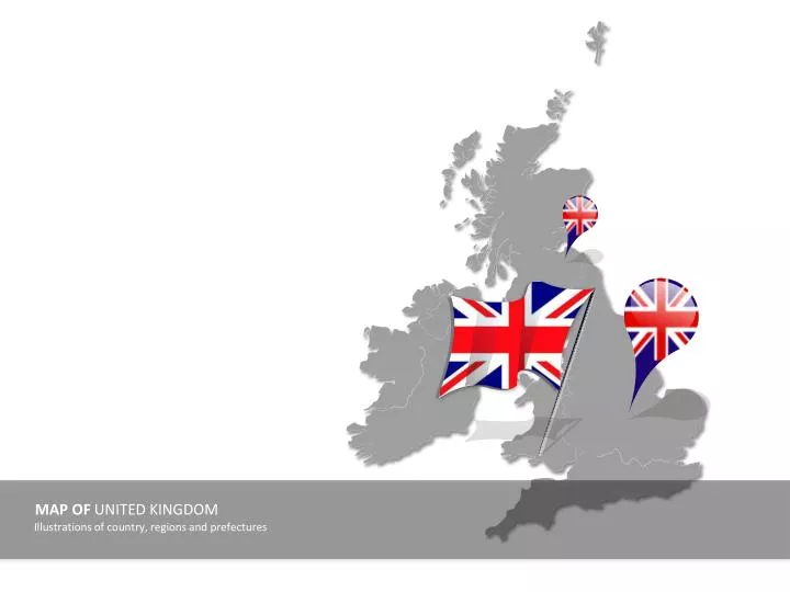
MAP OF UNITED KINGDOM Illustrations of country, regions and prefectures
MAP OF UNITED KINGDOM – REGIONS & PREFECTURES SCOTLAND SCOTLAND Aberdeen Edingburgh Glasgow
MAP OF UNITED KINGDOM – REGIONS & PREFECTURES ENGLAND Belfast Newcastle ENGLAND London Birmingham Liverpool Bristol Leeds Leicester Sheffield Manchester
MAP OF UNITED KINGDOM – REGIONS & PREFECTURES IRELAND Dublin IRELAND Cork
MAP OF UNITED KINGDOM – REGIONS & PREFECTURES WALES WALES Cardiff
MAP OF UNITED KINGDOM - REGIONS N Example text • Text example • Replace it with own text • Text example • Replace it with own text • Text example • Replace it with own text • Text example • Replace it with own text W Zoom E S
MAP OF UNITED KINGDOM - REGIONS N Example text • Text example • Replace it with own text • Text example • Replace it with own text • Text example • Replace it with own text • Text example • Replace it with own text W Zoom E S
United Kingdom – Highlight of Region MAP OF UNITED KINGDOM - REGIONS N Example text • Text example • Replace it with own text • Text example • Replace it with own text • Text example • Replace it with own text • Text example • Replace it with own text W Zoom E S
MAP OF UNITED KINGDOM - REGIONS UK SCOTLAND ATLANTIC OCEAN NORTH SEA IRISH SEA IRELAND ENGLAND WALES CELTIC SEA
United Kingdom - Distances MAP OF UNITED KINGDOM – DISTANCE Destination x: y Hours Destination x: y Hours Destination x: y Hours Destination x: y Hours TRAVEL ICONS Airplane Train Destination x: y Hours Car Bus
United Kingdom – Locations MAP OF UNITED KINGDOM – CITY CENTERS Example text • Text example • Replace it with own text • Text example • Replace it with own text • Text example • Replace it with own text • Text example • Replace it with own text
United Kingdom – Non Data driven MAP OF UNITED KINGDOM - STATISTICS 76% 56% 82% 46% 50% 6% 50% 45% This is an example text. Go ahead an replace it with your own text. This is an example text. Go ahead an replace it with your own text.
United Kingdom – Country outline with flag MAP OF UNITED KINGDOM – FLAG CLIP ART