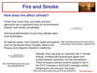
Wildfire and Smoke 2008
Wildfire and Smoke 2008. Federal Wildland Fire Policy Implementation Field Test Wildfire Decision Support Development Addressing Wildfire Smoke. Appropriate Management Response Strategic Spectrum. Wildfire (Objective: PROTECTION “to put the fire out ” & Minimize Loss).

Wildfire and Smoke 2008
E N D
Presentation Transcript
Wildfire and Smoke 2008 Federal Wildland Fire Policy Implementation Field Test Wildfire Decision Support Development Addressing Wildfire Smoke
Appropriate Management Response Strategic Spectrum Wildfire (Objective: PROTECTION “to put the fire out” & Minimize Loss) Direct Attack Containment Confinement Monitoring “Tactical Alternatives” Wildland Fire Use (Objective: BENEFICIAL “to accomplish specific resource management objectives”)
Appropriate Management Response Strategic Spectrum Wildfire Strategic Objectives (Objective: PROTECTION “to put the fire out” & Minimize Loss) Direct Attack Containment Confinement Monitoring “Tactical Alternatives” (Objective: BENEFICIAL “to accomplish specific resource management objectives”)
Pilot Units • Northwest Geographic Area • Wallowa-Whitman National Forest • Olympic National Park • Northern Rockies Geographic Area • Bitterroot National Forest & Lolo National Forest • Yellowstone National Park • Flathead Agency *WFDSS Test Unit
Pilot Units • Northern California Geographic Area • Klamath National Forest • Southern California Geographic Area • Sequoia National Forest • Sierra National Forest1 (Tehipite Fire) • Sequoia and Kings Canyon National Parks • Eastern Great Basin Geographic Area • Payette National Forest • Grand Teton National Park and John D. Rockefeller Memorial Parkway *WFDSS Test Unit 1 Granted “Pilot” status for a single fire
Pilot Units • Rocky Mountain • Upper Colorado Rive Fire Management Zone • White River National Forest & Grand Valley District of the Grand Mesa, Uncompahgre, Gunnison National Forest • Grand Junction Field Office, Glenwood Field Office, & Northwest Colorado Fire Management Area (Craig) • Brown’s Park National Wildlife Refuge • Colorado National Monument and Dinosaur National Monument *WFDSS Test Unit
Pilot Units • Alaska • Tanana Fire Management Zone • BLM, NPS, FWS, BIA and State of Alaska • Southwest Geographic Area • Gila National Forest & Kaibab National Forest • Gila Cliff Dwelling National Monument • Grand Canyon National Park • Southern Geographic Area • Great Smoky Mountains National Park * WFDSS Test Unit
Wildland Fire Decision Support System (WFDSS) A system intended to assist fire managers and analysts in determining the appropriate management response (AMR) for fire incidents. It is designed to replace the WFSA (Wildland Fire Situation Analysis) and other incident planning processes with an easier more intuitive online product. Introduces economic principles into the fire decision process including assessment of values at risk
WFDSS – RAVAR • Rapid Assessment of Values-at-Risk (RAVAR) • Improved strategic risk assessment tool • Risk = Threat * Value Change • Provides spatially explicit values at risk data linked to fire threat projections • FSPro (Fire Spread Probability) or other fire behavior models • User defined polygons • Value is identified in RAVAR – need more research to get value change http://www.fs.fed.us/rm/wfdss_ravar/
Components of RAVAR • FS Pro or other fire behavior models or user defined polygons • Private Structures • Housing Values • Infrastructure • including power transmission, pipelines, communication towers, water supply infrastructure • Air Quality Information
How to incorporate smoke in decision making? Smoke models are not yet available or ready to incorporate in WFDSS Need a way to report possible air quality issues and smoke dispersion potential to the wildland fire community and others Air quality assessments added to RAVAR must take less than 30 minutes to complete to allow for efficient and rapid turn-around
The air quality components added to RAVAR • Nonattainment GIS data layers • PM 2.5 Nonattainment areas • Ozone Nonattainment areas • PM 2.5 Proposed Areas • Ozone and PM monitoring stations • Communities over 50,000 population* • FS Pro Models buffered out 100 miles • Wind Rose from surface weather stations
Future Development • Communities at risk from drainage smoke • Improved potential smoke plume polygon based on climate data • Mixing layer Wind Rose for duration of FSPro simulation • Location of Base Camp and Aviation Operations
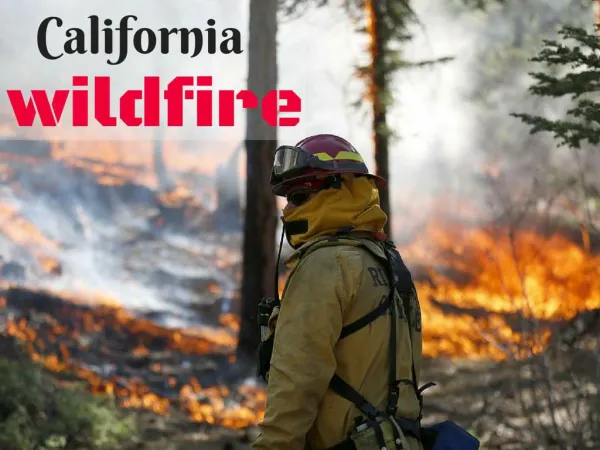
Single Incident North Carolina Multiple Incidents Southern California October 2007 Northern California Summer 2008 2008 Smoke Approaches
North CarolinaEvans Road Fire Traffic Safety Issues Public Health and Safety Issues • NCDAQ Policy is no monitoring of wildfires • Monitors deployed by fire managers Fire Fighter Exposure • Three Foot Deep Smoldering Organic Soils
Manteo Columbia Readings for 6/21/08 from 0000 to 0900 hrs. It is very unfortunate data collection did not take place until 2 weeks into the incident. Belhaven Fairfield
At the request of the FBAN NWS continuously runs Hysplit to review modeled smoke trajectory fire in order to fine tune NOAA Radio Broadcast and Hazard Statements.
Simple Smoke Vectors (extend 30 miles) depict major smoke corridors using NWS Wind Direction Forecast for Evans Rd. Fire from 6/10/08 (3 hrs past sunset) to 6/11/08 (4 hrs past sunrise) Corroborates BlueSky model projection Clockwise Moving Transition Zone
Max 1 hr PM 2.5 concentration for 6/11/08 from 0000 hrs to 2400 hrs. Each Square is ~ 7 sq mi