Download
1 / 30
300 likes | 319 Vues
EUMETGRID is a project focused on the coordination and harmonisation of European high-resolution gridded climate data. It aims to provide a single access point for pan-European gridded climate information, supporting climate monitoring, hazard prediction, and climate services. Benefits include improved data accessibility, harmonisation of methods and data, and increased capacity for national gridding.

E N D
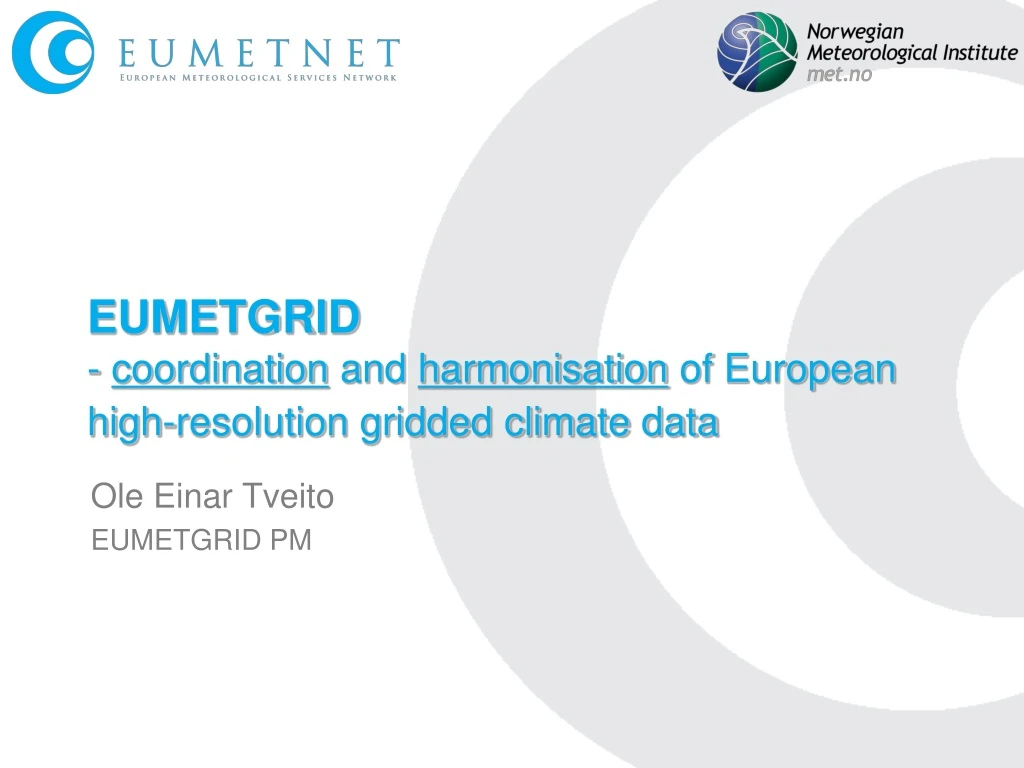
EUMETGRID - coordination and harmonisation of European high-resolution gridded climate data Ole Einar Tveito EUMETGRID PM
What is EUMETGRID Data high resolution gridded climate data Distribitued data sources Multi-national, multi-source Past, present and future climate Observation and model based Infrastructure for access and exchange of gridded climate data one access point to pan-European gridded climate information (and not 25+!!!) User needs, requirements products applications ...
EUMETNET strategy & climate goals • EUMETNET will develop harmonized and coherent pan-European gridded daily climate data sets and analyses • EUMETNET will assist Members to provide trans-boundary and pan-European climatological information in near real-time on major climate/weather events • EUMETNET will support Members to enable them to deliver applied climate services within the WMO GFCS EUMETGRID will support all these goals, and be the main activity for achieving goal 1.
Background and Motivation Gridded climate data is regarded as important: understand and predict climate variability, extremes and (weather related) hazards cope with a changing climate climate monitoring verification&validation(NWP, Climate models)
Prepare for a future European Climate Service Huge amount of gridded climate information exists distributed fragmented scale & resolution methods & input data data formats, technical specifications/platforms Not always sustained! Harmonization is needed for making these data available for and useful for a wider community. The methods used to create gridded data The infrastructure used to share gridded data User interaction and services to achieve gridded data products Capacity building
EUMETGRID pillars • High resolution, nationally produced gridded climate data • High resolution ≤ 1km, 1 day • Data infrastructure for access and exchange of gridded data
High spatial resolution adds value The field is for 22. August 2005, one day of the heavy flooding in Switzerland and Austria. Units are in mm per 24 hours. E-OBS: Grid-spacing 20 km, coverage entire continent, few hundred stations in the Alps (Haylock et al. 2008, Klok and Klein Tank 2008) AL02: Grid-spacing 2 km, Alpine region only, high-resolution non-GTS data (Frei and Schär 1998, Frei et al. 2006 Courtesy C.Frei, Meteoswiss
EUMETGRID should complement the on-going re-analysis and observational interpolation initiatives by: Provide access to gridded climate data that already exist. Evaluate and (if necessary) developmethodologiesto establish high resolution grids based on observations from synoptic and climatological stations, Provide a in-situ based pan-European gridded observational climatology based on tiled national datasets. Provide a platform for exchange and distribution of products based on distributed gridded climate datasets, adapted to different data policies. Develop basic products and services based on gridded climate data Cooperate with and take advantage of other relevant initiatives providing gridded climate data (e.g.EURO4M). Expected deliverables ONE STOP “SHOP”! Consistent information Shared infrastructure Users Cooperation, EU added value
Expected deliverables Variables:EUMETGRID will focus on atmospheric surface ECV: air temperature (Daily mean, min and max) precipitation Area:EUMETGRID will cover Europe in its entirety. EUMETNET area, WMO Region VI, Europe as defined by EEA, the African Mediterranean countries and the countries of the Middle East. Period:EUMETGRID will include the past 50-100 years with a focus on 1971 till present.
Benefits from EUMETGRID Distributed data access One access point / distributed sources NO duplications Best available data High resolution Full climate networks Local knowledge, continental coverage Clearer ownership European cooperation and harmonisation Added value for users Downstream services Coverage Tiling Re-useable technology Climate service backend Increased national gridding capacities
EUMETGRID benefits Harmonisation of data and methods consistent information quality assessment uncertainty timeliness standardized minimum requirements for methods and data input scale, geographical projections transformation algorithms Common gridding toolbox Harmonized access common infrastructure one stop to achieve data seamless access to multi-national (and multi-source) data standardized specifications for data access & exchange. Products and Services joint climatological reference products (mean values, return periods, design values) Pan European climate monitoring products based on national services & products. Sustainable platform for dissemination of gridded (spatially distributed) climatological data and information. STRONG user interaction, directly or indirectly
Data source for authorities, policy makers, stakeholders and scientists at all European levels with respect to climatological issues. Harmonized infrastructure for seamless access to the best climatological data using common specifications for data and information.
EUMETGRID Components Data generation gridding Data access Data processing Data quality/monitoring Services National level or DCPC EUMETGRID User level Climate Service
Challenges merging national data sets • Methodological aspects. • Methods should be comparable • Similar performance • Use similar external predictors (where applicable). • Are the information consistent (daily average algorithms, observation «days»,…)? + EUMETGRID Advantage: • National expertice and full access to obervational data are assured • Disadvantage: • (Currently a) heterogeneity of data • Quality assessments should always be accessible • EUMETGRID harmonisation • Evaluation principles (e.g. common validation criterias)
meta- data EUMETGRID Dataflow USERS NCs & DCPCs (NMHSs & other datacentres) ACCESS and INTERPRETOR DISTRIBUTED DATASOURCES PROCESSING & DISSEMINATION APPLICATIONS Re-project & re-scale Interpretor SQL Access Users & downstream services tmp- storage Merge & analyse Re-project & re-scale Interpretor Access GIS-formats Re-project & re-scale Interpretor Access Ascii- files Query builder User interface/dialogue QM
Infrastructure components • Metadata • Metadata harvesting • Metadata search • Data viewing • Data access and extraction • Data upload facility
Technical aspects – Metadata & grid spec. • Common metadata descriptions • What data? • How it is produced? • Where it can be found? • Technical and geographical specifications? • Contact adress? • Metadata standards: ISO19115/ISO-TC19139 • Metadata harvesting • OAI-PMH (recommended for WIS) • CSW 2.0.2 (Inspire standard) • Common grid specification • Reprojecting loss of precision (smoothing) • All data provided in a few specific projection, • ETRS89_LAEA, Lat-Lon, Polar Stereographic • All data provided with the same grid specifications
Technical aspects – formats and exchange protocols • Data viewing • WMS • Data access • OPeNDAP – well established, can cope with large data sets • WCS – less mature. Popularity is increasing. INSPIRE standard? • Can all data owners provide a download service from their data bases, or is a central data repository necessary? • Data formats • GRIB, netcdf, ESRI, plain ASCII?
Future plans • Finish bridging period report. • Setting up recommendations for the next phase of EUMETGRID • Gridding methods: • Review of experiences (ECSN HRT/GAR, ENSEMBLES/E-Obs, COST719, NORDKLIM…) • Cookbook of gridding techniques • Libraries of algorithms common (open-source) toolbox for gridding • Investigate the influence of station density, compexity of terrain etc.
Future plans • Metadata • Identify which metadata system that can be supported by the individual participants • Set up minimum specification for metadata, compliant to INSPIRE/WIS and data provider capabilities • Investigate status if INSPIRE compliant metadata • Viewer services • Set up a EUMETGRID WMS viewing service • Setting up WMS servers at NMHSs not providing it. A central WMS server can be a backup solution.
Future plans • Access service • Investigate WMS/WCS/OPeNDAP services and their accesssibility. • Assess the potential data volume that potentially could be accessed. • Ensure knowledge transfer • ftp-solution as backup • User services • Key users (European level) • Beta-version of end-user portal • Capacity building and knowledge transfer • Training courses (at WMO RAVI level?)
Who is EUMETGRID? An optional programme of EUMETNET 2010-2011 25 participating NMHSs Programme Manager: Ole Einar Tveito, met.no Climate scientists, gridding experts, IT experts, users Building on demonstration project (S- EUROGRID)
Contact Details Ole Einar Tveito EUMETGRID Programme Manager G.I.E./EIG EUMETNET EUMETGRID Programme Manager Norwegian Meteorological Institute P.O.Box 43 Blindern NO-0313 OSLO, Norway Tel: + 47 22963375 Fax: + 47 22963380 Email: ole.einar.tveito@met.no Web: eumetgrid.met.no G.I.E. EUMETNET Secretariat c/o L’Institut Royal Météorologique de Belgique Avenue Circulaire 31180 Bruxelles, Belgique Tel: +32 (0)2 373 05 18Fax: +32 (0)2 890 98 58 Email: info@eumetnet.eu Web: www.eumetnet.eu