Download
1 / 18
180 likes | 201 Vues
Explore rare species, natural communities, and conservation areas in North Carolina. Access valuable datasets for planning and conservation efforts. Learn more at www.ncnhde.natureserve.org

E N D
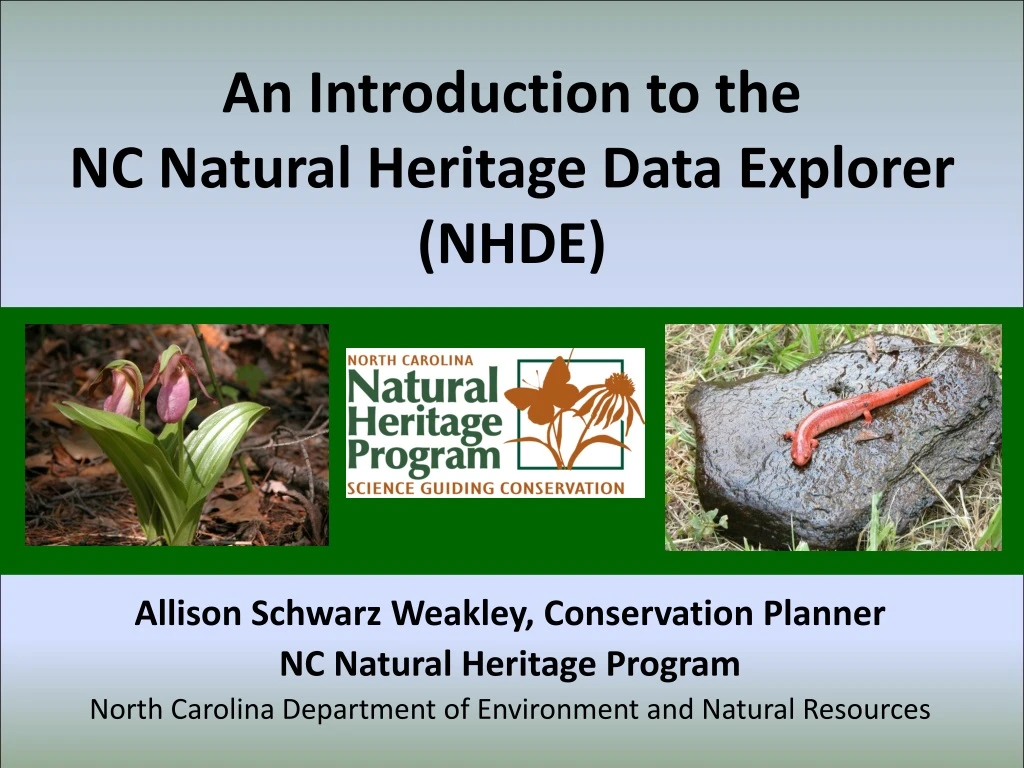
An Introduction to the NC Natural Heritage Data Explorer (NHDE) Allison Schwarz Weakley, Conservation Planner NC Natural Heritage Program North Carolina Department of Environment and Natural Resources
The mission of the NC Natural Heritage Program To inventory, catalogue, and support the conservation of the rarest and most outstanding elements of the natural diversity of our state. www.ncnhp.org
Natural Heritage Element Occurrences (NHEOs) We track Rare Species Plants Vascular & non-vascular, terrestrial & aquatic (904 taxa) Animals Vertebrate & invertebrate, terrestrial & aquatic (656 taxa)
Natural Heritage Element Occurrences (NHEOs) We track Natural Communities Based on the North Carolina Classification of Natural Communities, 4th approximation (Schafale 2012) 340 community types and subtypes are currently tracked 4 special animal assemblages and habitats are also tracked
Natural Heritage Natural Areas (NHNAs) formerly Significant Natural Heritage Areas (SNHAs) We delineate conservation sites and evaluate their significance A NHP Natural Area is an area of land or water identified as being important for the conservation of the state's biodiversity NHNAs contain one or more Natural Heritage elements: rare species, high-quality natural communities, and special animal habitats.
We conduct and publish Natural Area Inventories • A systematic survey effort to identify NHP Natural Areas (NHNAs) based on high-quality natural communities and rare species. • The scope of an inventory is typically limited to a county, but we also conduct regional inventories.
Natural Heritage Natural Areas(NHNAs) • Identified by on-the-ground surveys • Can range in size from one to hundreds of acres – includes both terrestrial and aquatic sites • NHP Natural Areas are identified by the NCNHP, but protection is up to the landowner • Site protection is the primary objective of defining NHP Natural Areas
Natural Heritage Natural Areas (NHNAs) Significance based on rarity and quality of Elements, and number of Elements within a NHP Natural Area
Natural Heritage Program Managed Areas(MAREAs) A comprehensive dataset useful for showing lands permanently protected, managed for conservation, and/or of conservation interest.
NC Conservation Planning Tool (CPT)Providing a framework for decisions about future growth and important natural resources • Identify, evaluate, and prioritize an interconnected network of essential ecosystem resources and functions that is important for conservation statewide • Coordinateconservation efforts • Guideconservation efforts • Informplanning and funding decisions
NC Conservation Planning Tool • Four primary statewide assessments: • Biodiversity/Wildlife Habitat • Open Space and Conservation Lands • Agricultural Lands • Forestry Lands • Best available, current data • Collaborative effort of many conservation partners
Biodiversity/Wildlife Habitat Assessment (BWHA) • Prioritizes aquatic and terrestrial species and habitats • Considers landscape function and connectivity – core wildlife habitats and connectors • Includes land and water resources important for ecosystem health and the benefits they provide
Biodiversity/Wildlife Habitat Assessment • Raster-based GIS analysis at 30m x 30m pixel scale • Relative ranking of datasets, with a maximum score shown on map (10 point scale) • Ranking considers data accuracy, precision, and completeness of input data
The NC Natural Heritage Data Explorer (NHDE) • A new online viewer for accessing NCNHP data for planning, assessment, and project review! • Public access to the CPT, Natural Areas, and Managed Areas datasets. • Subscribers can: • Access additional NCNHP data (e.g., rare species) • Submit projects for site-specific review to receive automatically generated reports • Receive free training on use of the NHDE and NCNHP data • Functionality includes map making, adding web map services and GIS shapefiles, searching on data features
Questions? Please contact us for more information or technical assistance! Allison Schwarz Weakley Allison.Weakley@ncdenr.gov (919) 707-8629 www.ncnhp.org www.conservationtool.nc.gov https://ncnhde.natureserve.org