Download
1 / 15
150 likes | 171 Vues
This article discusses the role of information and communication technologies in reducing deforestation in Amazonia. It highlights the importance of transparency, monitoring systems, and innovative software in building governance and achieving sustainable forest management. The article also mentions the significant progress Brazil has made in reducing deforestation and the availability of open access satellite data.

E N D
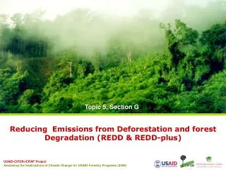
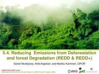
Reducing Deforestation in Amazonia: The rôle of information and communication technologies Gilberto Câmara NationalInstitute for Space Research (INPE) Brazil
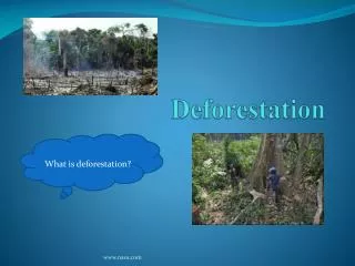
Até 10% 10 - 20% 20 – 30% 30 – 40% 40 – 50% 50 – 60% 60 – 70% 70 – 80% 80 – 90% 90 – 100% Deforestation in Amazonia (big problem) Amazonia (4.000.000 km2 = sizeofEurope)
INPE’s Monitoring Systems dialydeforestationalerts time Yearly rates ofclearcuts Floresta
Real-time Deforestation Monitoring Daily warnings of newly deforested large areas
“By 2020, Brazil will reduce deforestation by 80% relative to 2005.” (pres. Lula in Copenhagen COP-15)
Transparency builds governance 500.000 registrations 46 million protests
Policing actions: illegal wood seizure 50% ofoperations in 2% ofthearea
Transparency builds governance! Deforestation in Brazilian Amazonia (1988-2011) dropped from 27,000 km2 to 6,200 km2
How much it takes to survey Amazonia? 116-112 30 Tb of data 500.000 lines of code 150 man/years of software dev 200 man/years of interpreters 116-113 166-112
TerraAmazon – open source software for large-scale land change monitoring 116-112 116-113 166-112 Innovative software for environmental monitoring (technology transfer to developing nations)
“Deforestation in the Brazilian Amazon is down by a whopping 78% from its recent high in 2004. If Brazil can maintain that progress, it would be the biggest environmental success story in decades, and would set an example to other countries that want to protect their tropical forests.” (Editorial, 7 June 2012)
CBERS: China-Brazil Earth Resources Satellite Open access data: 2 millions images distributed by INPE (2005-2011)
“A few satellites can cover the entire globe, but there needs to be a system in place to ensure their images are readily available to everyone who needs them. Brazil has set an important precedent by making its Earth-observation data available, and the rest of the world should follow suit.”
CBERS as a global satellite Miyun Urumchi Aswan Maspalomas Ghuangzhou Chetumal Bangcoc Gabon Malindi Boa Vista Darwin Cuiabá Alice Springs Jo´burg CBERS ground stations will cover most of the Earth’s land mass between 300N and 300S