Download
1 / 9
90 likes | 196 Vues
This document outlines the concept of geomorphological units, defined as landscape facets shaped by geological and physiographic variables. These units, represented as polygons, provide a valuable approach to identify potential habitat refugia, essential for biodiversity conservation. Additionally, geomorphological units enable the downscaling of coarser-scale results, making them more applicable for effective management decisions. The SSURGO AWC Esri package can facilitate the analysis and visualization of these units in landscape management and ecological studies.

E N D
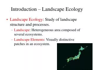
2. Geomorphological units (“landscape facets”) • Units (polygons) on the landscape that are defined by geological and physiographic variables • Offer one way to identify potential habitat refugia • Means to “downscale” coarser-scale results to make relevant for management decisions?