Download
1 / 9
90 likes | 217 Vues
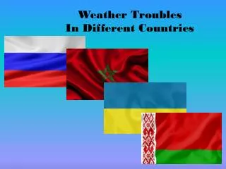
Our diverse team consists of members from seven different countries, including Zhou Yi, Gopiraaman, LVS, Freda Mutanda, Sun Ah Lee, Sandor Szanyi, Claire Scarceriaux, and Elodie Jeannaud. Our project focuses on topography and land use analysis, GIS work using ArcGIS, and hydrological studies with tools like MIKE SHE and MIKE 11. We aim to model rainfall, discharge, and runoff while providing alternative solutions for flood prevention. Key tasks include hydrological analysis, stream network definition, and effective drainage point establishment to better manage water resources.

E N D
Zhou Yi Gopiraaman LVS Freda Mutanda Sun Ah Lee Sandor Szanyi Claire Scarceriaux Elodie Jeannaud
Plan of our work • Topography and landuse analysis • GIS work (Arcgis software) • Hydrology Analysis • Rainfall study / Discharge / Runoff (Mike SHE software) • Modelling Tools • Mike Flood / Mike 11 • Alternative solutions for flood prevention DONE TODO
GIS part DEM Hydrology processing Landuse analysis /Slope • Watershed • Define Stream network • Define Drainage point • Define Longest Flow Path
Rainfall interpolation Interpolation by kriging method using ArcMap Interpolation by kriging method using Surfer 8
Things to be done • Hydrological Analysis • MIKE SHE • Modeling with MIKE 11 • ISIS