Download
1 / 19
190 likes | 286 Vues
This comparative study explores two thunderstorm events during field projects in 2009, analyzing their characteristics, evolution, and differences. By examining temperature data and storm initiation, the study aims to enhance understanding of these weather phenomena.

E N D
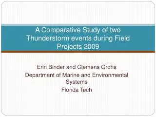
A Comparative Study of two Thunderstorm events during Field Projects 2009 Erin Binder and Clemens Grohs Department of Marine and Environmental Systems Florida Tech
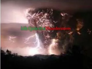
IntroductionFlorida Storm Types • Sea breeze thunderstorms • Frontal passage storms • Initialization from an upper level low • Embedded storms from a major system like a hurricane et cetera.
Summer Field Projects Land Based Meteorology • Goal • Use temperature and relative humidity stations to Identify the passage of a storm • Method • Setup a high-spatial and temporal resolution network
Objectives: • Analyze two events at Deseret Ranch • MCS on June 18 • Thunderstorms on June 29 • Examine the characteristics of the temperature evolution for two events • Identify similarities and differences between the two events
Radar Imagery of Storm Initialization over Jacksonville, Florida June 18, 2009 Radar Reflectivity at Jacksonville
Deseret Ranch Temperature and Relative Humidity Sensors for June 18, 2009
June 18, 2009 Recap • Stations ½ mile apart • Upper level trough over Georgia • Temperature decrease of 20 degrees in 30 minutes • The storm system is classified as a mesoscale convective system (MCS)
Deseret Ranch Temperature and Relative Humidity Sensors for June 29, 2009
June 29, 2009 Deseret Ranch Temperature Time Series Daily Average Temperature 80 °F
June 29 ,2009 Recap • Stations are 1 mile apart • Initialized by warm moist air from the Gulf of Mexico • Thunderstorm moved in from the west coast • Temperature decrease of 10 degrees F in 15 minutes at stations 2, 4, and 5 only
Summary • Surface T & RH network potentially provides a better understanding of T-storm events • Similarities • Temperature decrease during the storms passage • Differences • June 18- MCS • June 29- Local storm event
Questions? Questions
Acknowledgments • Dr. SenChiao • Dr. John Windsor • Dr. George Maul • Dr. Kevin Johnson • All the TA’s, Samuel, Justin and Kathleen • Land based meteorology students • University of Wyoming and Plymouth State University • mom and dad Next Up: Break and then Stephanie Zoutenbier, Ashley Merritt, and Raymond Lee