Download

1 / 17
170 likes | 329 Vues
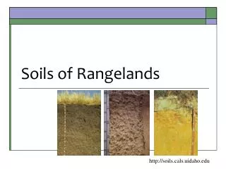
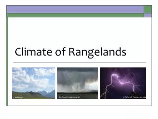
Climate of Rangelands. J. Peterson. Jim Peaco (www.nps.gov). J. Schmidt (www.nps.gov). Climate plays primary role. Climate: Long-term patterns of temperature & precip Weather = short-term variation in temp., precip . wind, humidity, etc. Biome:

E N D
Climate of Rangelands J. Peterson Jim Peaco (www.nps.gov) J. Schmidt (www.nps.gov)
Climate plays primary role • Climate: • Long-term patterns of temperature & precip • Weather = short-term variation in temp., precip. wind, humidity, etc. • Biome: • Largest terrestrial ecosystem that is easily recognizable. • Prairies, shrublands, woodlands, forests, etc. • Ecosystems: • Community of organisms & abiotic environment
How does climate affect global vegetation patterns? • Affects plant biomass (amount of vegetation) • Drives photosynthesis • Determines growing periods (frost-free period) • Affects types of plants that will grow: • Trees need more water than shrubs, forbs & grasses. • Some plants like it hot & some like it cold. Depends on plant physiology. • Influences soils texture & structure.
Climate Affects Vegetation • Rangelands evolved where precip was insufficient for forests, but too much for barren deserts. These are RANGELANDS Robert Whittaker’s classification of biomes, based on annual precipitation, temperature
Variation in Precip L.A. Sharp Experimental Area –Malta Idaho Effective precip = when precipitation is usable Min Precip= (1989) 6.6 inches Max Precip= (1982) 23.6 inches Average = 14.9 inches
Geographic Climate Regions Pacific Northwest Mountains Great Plains Great Basin Mediterranean Mountains Southwest Deserts Figure by K. Launchbaugh
Grassland & Savannas Deserts & Semideserts Mediterranean Deserts & Semideserts
Topographic Effects • Mountains can create Orographic Barriers with Rain Shadows on the leeward side From http://web.mst.edu/~rogersda/umrcourses/ge301/
Hadley Cell Effect Atmospheric circulation patterns between circulation between the equator and 30latitude. http://people.eku.edu/davisb/Africa/Hadleycell.jpg
Hadley Cell Effect Creates bands of moist or dry zones around the globe. http://serc.carleton.edu/images/eslabs/weather/hadley_cells_semi_permanent.jpg
Equator 30 http://www.whymap.org/
Continental Land Effects • Lands around large bodies of water tend to have climates with: • Mild temperatures • Abundant precipitation (moist or mesic) • Centers of continents are often: • Extreme temperature variation (summer to winter) • Dry
Continental Patterns http://earthobservatory.nasa.gov/Features/BlueMarble/Images/land_shallow_topo_2048.jpg Watch Global Circulation video at: www.youtube.com/watch?v=qh011eAYjAA
Summary of Climate • Patterns of precip. & temp drive patterns of vegetation. • Geographic effect • Orographic barriers & rain shadows • Altitude and latitude are important • Hadley cells • Continental effects