Download

1 / 15
160 likes | 310 Vues
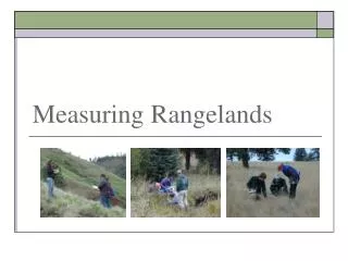
Measuring Rangelands. Uplands vs Riparian Vs Wetlands. Uplands = Drier areas on landscape that are only wet for short periods after precipitation events. Uplands vs Riparian Vs Wetlands. Riparian = Vegetation adjacent to surface waters, such as stream banks and shorelines.

E N D
Uplands vs Riparian Vs Wetlands • Uplands = Drier areas on landscape that are only wet for short periods after precipitation events.
Uplands vs Riparian Vs Wetlands • Riparian = Vegetation adjacent to surface waters, such as stream banks and shorelines. • Greener vegetation because of water sources
Uplands vs Riparian Vs Wetlands • Riparian Categorization: • Lotic = associated with flowing water • Lentic – associated with standing water.
Uplands vs Riparian Vs Wetlands • Wetlands = Areas with “hydric” soils that are permanently or seasonally saturated by water.
Vegetation Attributes • Plant Species or Type • Frequency • Density • Biomass • Cover • Structure
Plant Species or Type • Plant Species = genetically unique and closely related plants. • Life Form • Grasses • Grass-likes • Forbs • Shrubs • Trees K. Launchbaugh Jen Peterson K. Launchbaugh
Frequency • How often a plant occurs within a sampled area • Proportion (%) of times a plant occurs in the total number of plots examined. Example: If dandelions occur in 2 out of 5 plots examined = Frequency of 40%
Density • Number of individuals per unit area • Plants/ft2 • Plants/hectare • Etc.
Biomass • Total weight of living organisms, including plants and animals, for a given area • Usually expressed as kg/ha or lbs/acre • In range assessment refers to just plants, does not usually include weight of animals per area. • Determined by clipping and weighing
Cover • Amount of ground surface covered by vegetation or other objects including: • rocks, • litter (dead plant matter) • moss • bare ground • Measured with points or plots
Structure • Three-dimentsonal arrangement of a plant community. • Relates to: • Hiding Cover • Thermal Cover • Wildland Fuels
Plant Composition • A calculation based on proportions of biomass or cover. • Proportion (%) of various plants (or life form) in relation to total plant biomass or cover
Vegetation Attributes • Plant Species or Type • Frequency • Density • Biomass • Cover • Structure • … Composition