Web-based Watershed Decision Support and Planning Tools
200 likes | 347 Vues
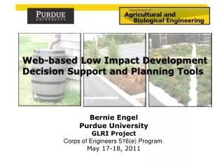
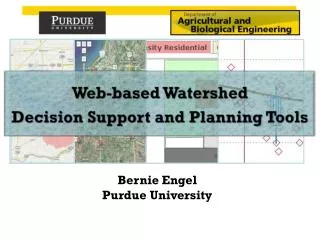
Web-based Watershed Decision Support and Planning Tools. Bernie Engel Purdue University. Web-based DSS Tools. Online Watershed Delineation L-THIA & L-THIA LID Watershed Management Systems Burns Ditch (Indiana) Swan Creek (Ohio) Flow and Load Duration Curves. L-THIA Model.

Web-based Watershed Decision Support and Planning Tools
E N D
Presentation Transcript
Web-based Watershed Decision Support and Planning Tools Bernie Engel Purdue University
Web-based DSS Tools • Online Watershed Delineation • L-THIA & L-THIA LID • Watershed Management Systems • Burns Ditch (Indiana) • Swan Creek (Ohio) • Flow and Load Duration Curves
L-THIA Model Long-Term Hydrologic Impact Assessment Average annual runoff NPS pollution An overview / screening model User friendly tool Does not require detailed data input Identifies need for more detailed modeling Provides "What-If" alternatives evaluation scenarios
Minimization Reduce imperviousness Soil Compaction L-THIA LID (Low Impact Development) Major Components 1. Conservation (Watershed and Site Level) 2. Minimization (Watershed and Site Level) 3. Integrated Management Practices (Site Level) • Conservation • Forest/Woods • Infiltrable Soils • Storage, Detention & Filtration • Rain gardens • Drainage swales • Green roofs • Porous Pavement https://engineering.purdue.edu/mapserve/LTHIA7/lthianew/lidIntro.htm
LTHIA-Web with Online Watershed Delineation Region 5 States, visible on Google Maps ™. Flowshed is calculated from point and landuse and soil characteristics are loaded into model. https://engineering.purdue.edu/~lthia/ Purdue University is an Equal Opportunity/Equal Access institution.
Purdue University is an Equal Opportunity/Equal Access institution.
Landuse and Soil are automatically entered into spreadsheet Purdue University is an Equal Opportunity/Equal Access institution.
Tabular and Graphic results Purdue University is an Equal Opportunity/Equal Access institution.
Web-Based Flow Duration and Load Duration Curve Tool https://engineering.purdue.edu/~ldc
Google Maps-Based Models Purdue University is an Equal Opportunity/Equal Access institution.
Enter / Upload Flow and WQ Data for LDC 100 cfs Flood Conditions FDC LDC WQ Target (0.10 ppm) Target Concentration FDC, LDC and Target Concentration (2002-2007) for USGS Gauge 04180000, Cedar Creek, IN
Retrieve USGS Flow Data and Enter /Upload WQ Data for LDC You can enter USGS gauge number to retrieve flow data Select beginning and Ending dates Click this button to Generate FDC only You can select and click here to retrieve USGS flow data
Summary • These tools enable decision makers to formulate watershed management plans to meet goals • Allows stakeholders to understand impacts of water quantity and quality resulting from land use change For more information: https://engineering.purdue.edu/~ldc