Download
1 / 8
150 likes | 1.32k Vues
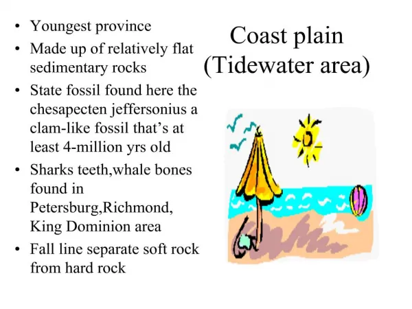
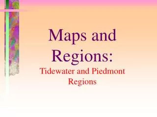
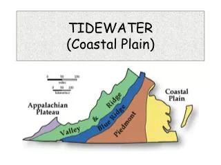
TIDEWATER (Coastal Plain). TIDEWATER (Coastal Plain). A Coastal Plain is a large, flat or gently rolling piece of land near a large body of water. The Tidewater Region borders the Atlantic Ocean and the Chesapeake Bay. The Tidewater region has low elevation .

E N D
TIDEWATER (Coastal Plain) • A Coastal Plain is a large, flat or gently rolling piece of land near a large body of water. • The Tidewater Region borders the Atlantic Ocean and the Chesapeake Bay. • The Tidewater region has low elevation. • The Tidewater region is a coastline because it has land that meets the sea.
TIDEWATER-----LAND • The soil in the Tidewater is not fertile. • This means it is hard for plants & crops to grow. • The Great Dismal Swamp is a wetland. • A wetland is low, flat land where the water is always close to the surface. It has marshes and swamps. • Lake Drummond is in the • Great Dismal Swamp. • This is the largest natural • lake in Virginia.
Peninsulas- land surround by water on 3 sides • The Tidewater has two sections: • Eastern Shore • Mainland • The Mainland: • Northern Neck • Middle Peninsula • The Peninsula • Southside
RIVERS • Good Highways for Large Ships • Wide, Deep and Slow Moving • Main source of transportation in early Virginia • Cities developed along rivers.
Hampton Roads • Hampton Roads is a natural harbor. • A harbor is a safe place to dock ships.
Chesapeake Bay • Estuary- salt water & fresh water mix • This is a highway for large ships • The rivers flow from the mountains to the Chesapeake Bay.
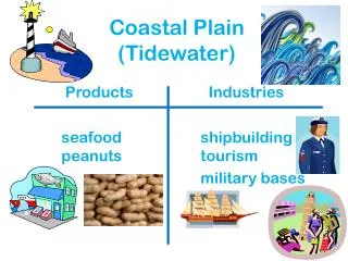
Tidewater Jobs • Fishing • Shipbuilding • Tourism • Truck Farming • Military & Government Workers