Download
1 / 18
200 likes | 432 Vues
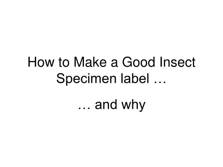
How to Make a Good Insect Specimen label …. … and why. Digital Specimen Data. Wave of the future Specimen labels = data sink (relatively primitive to get that data, borrow specimens, visit collections, etc.)

E N D
Digital Specimen Data • Wave of the future • Specimen labels = data sink (relatively primitive to get that data, borrow specimens, visit collections, etc.) • Specimen labels transformed to digital format = data that can be used by the global community for many uses, some we have yet to envision
3 main concepts Projection Datum Coordinate system Geographical Concepts
What projections do Rectangular projection Tissot’s Indicatrix of distortion
Common Datums NAD27 (North American Datum): system derived from land-based surveys, using Clarke 1886 ellipsoid NAD83: satellite-based system using the Earth’s center as a reference point; eventually adopted as GRS80 (Geodetic Ref. System 1980) WGS84 (World Geodetic System 1984): mathematically refined GRS80 used by the US military and default for GPS For most uses, NAD83, GRS80, WGS84 are equivalent Geographical Concepts: Datums
Coordinate Systems • Degrees, minutes, seconds 39°25’06”N, 92°26’18”W • Degrees, decimal minutes • 39°25.1016’N, 92°26.2942’W • Decimal degrees *** use this!! • 39.41837°, -92.43824° N = +, S = -, E = +, W = -
What is an acceptable georeference? What is a Georeference? Placing a spot on a map Point: A numerical description of a place that can be mapped, and…Extent: that describes the spatial extent of a locality (or collecting event), and … Uncertainty: its associated uncertainties.
Insect Label: low vs. high quality 1 mi. E Moberly Randolph Co., Mo. July 4-5, 1972 Coll. E. G. Riley Old style – w/o georeference single label USA: MO: Randolph Co. 1 mi. E Moberly, Hwy. 24 39.44929°N, 92.40219°W (WGS84), +/- 200m Modern style – includes georeference Often need a double decker (= two labels/spec.) Two labels vs. single label: Pro: keeps footprint of label small (4 or 5 lines) Con: twice the work cutting and placing VII-4-5-1972, E. G. Riley UV light, secondary growth oak-hickory forest
Common Georeferencing Practices:or, … what will happen to locality data from your old-style labels • Geolocate • Used for locating points and giving uncertainties, editing those points and uncertainties, finding new points from known points • Google Earth / Google Maps / GPS / paper maps, etc. • Used for locating points • Georeference calculator • Used for calculating uncertainties from known points via recommended “best practices” for particular locality types (named place, offset-heading, etc.) Demonstrate with examples: Point –radius method
Geolocate results for … Moberly, MO 1 mi. E Moberly, MO * Note: Uncertainty resized to polygon
Output from Georef calculator forpoint at “1 mi. E of Moberly on Hwy. 24: Randolph Co., Missouri” • 39.449941 lat • -92.406406 lon • 7225 • (WGS84) World Geodetic System 1984 datum • decimal degrees • 3.98237 • 4.489 mi. = maximum uncertainty radius (= ½ of linear extent) ** Note that collecting event assumed to have taken place within a ca. 9-mile wide circle • 1 mi • 0.00001 degrees
Geolocate vs. Good Label USA: MO: Randolph Co. 1 mi. E Moberly, Hwy. 24 39.44929°N, 92.40219°W (WGS84), +/- 200m 1 mi. E Moberly, Hwy. 24, MO
Suggested Protocol forPreparing Good Labels • Take GPS reading in field (especially if an obscure locality with poor landmarks) • Run GPS coordinates in Google Earth / Google Maps to relocate point at middle of extent of the collecting event (CE). • Calculate maximum uncertainty radius of CE (use ruler in Google Earth, etc.) • Record coordinate source datum (GWS84)
Suggested Protocol forPreparing Good Labels, con’t. • Review how to use a GPS (set datum, record GPS model etc, + GPS error with each waypoint) • Review how to take distance measurements using GoogleEarth and GoogleMaps • Create master copy of CE label (MS Word). • Cut coordinates from typed labels and paste into Google Earth for verification: must double check • Review how to format labels (font size, line spacing, etc.) for printing in MS Word. • Review need for quality paper & printer