Download
1 / 11
140 likes | 325 Vues
Inertial Navigation. AST 241. INS. Is a stand-alone navigation system completely free of any ground stations Initially developed for submarine applications and then adapted for surface vessels and eventually aircraft

E N D
Inertial Navigation AST 241
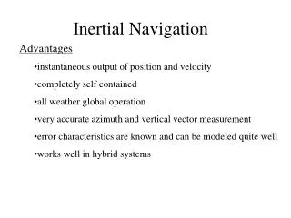
INS • Is a stand-alone navigation system completely free of any ground stations • Initially developed for submarine applications and then adapted for surface vessels and eventually aircraft • INSs can be either stand-alone or used as a part of a larger Flight Management System or FMS (covered later).
INS • Its main advantage- being completely self-contained is also one of its main shortcomings. • GIGO- “Garbage In Garbage Out” • Therefore redundancy in route input is mandatory
INS • INS units are also susceptible to gyroscopic drift error- precession errors in the gyro-stabilized accelerometer platform can induce false accelerations • Usually minimal- less than 2 NM/Hr.
INS Theory • 2 – 3 Accelerometers- pendulous vanes which measure acceleration to more than the 1000th of a G- Beyond human detection • 1 accelerometer is oriented E-W another is mounted N-S and another is for vertical acc. • Gyro-stabilized platform maintains the gyro’s orientation to the surface of the earth- also provides input to other aircraft systems needing gyro stabilization (att. Ref., wx. Radar, etc)
INS theory • “Torquing” is the process whereby the unit corrects for both spherical movement over the earth’s surface (without going inverted) and the earth’s rotation.
INS information • The information provided by INS units to the pilot is similar to information provided by other area navigation systems: • Track • Groundspeed • Drift Angle • Distance to go (to a waypoint) • Time to go
INS procedures • Civil units must be initialized while stationary • The initialization process can be seen on page 210 of your text. This process takes from between 10 and 45 minutes depending on things such as temperature, type of unit etc. • Nav Mode- unit initializes faster but is less accurate- also auto sequences to provide nav information once aircraft is moved.
INS procedures • Align Mode- more elaborate initialization/stabilization process which provides for more accuracy but the flight crew must remember to select “NAV” on the mode control panel prior to moving the aircraft or unit will not function properly
INS terminology Updating- process whereby unit or user inputs navigational information from other navigational sources to correct for drifting Voting- process whereby systems with three INS units eliminate an erroneous unit. The bad one gets voted offline. Triple mixing- fig. 12-6. Three unit systems use this process to improve their accuracy by taking the best of all three positions (within certain limits).
THE END QUESTIONS?