Introducing the Planet: The Earth Before Humans
730 likes | 992 Vues
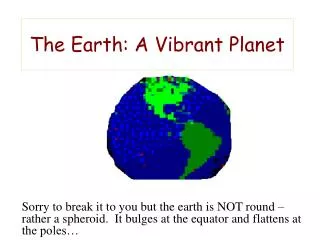
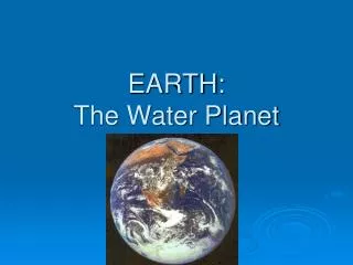
Introducing the Planet: The Earth Before Humans. Climate and Weather Ecosystems and Eco-regions Biodiversity. Climate and Weather. Lands near the equator are, on average, warmer. Closer to either pole and the earth is colder.

Introducing the Planet: The Earth Before Humans
E N D
Presentation Transcript
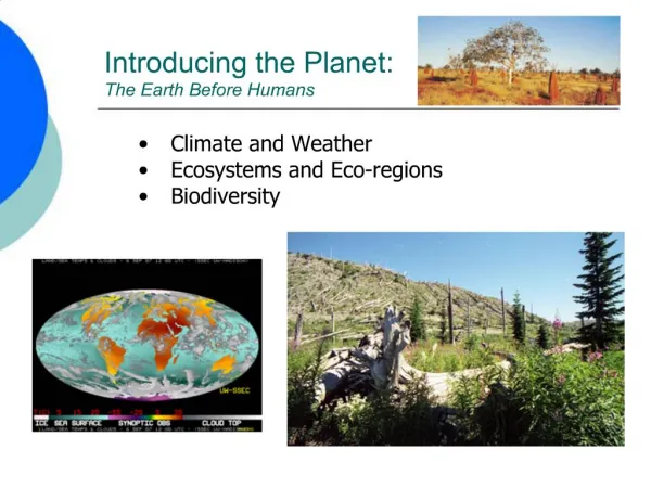
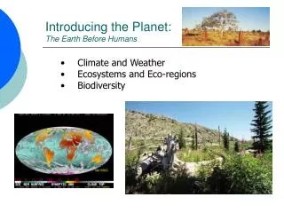
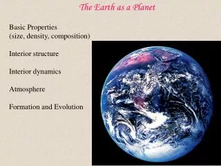
Introducing the Planet:The Earth Before Humans • Climate and Weather • Ecosystems and Eco-regions • Biodiversity
Climate and Weather • Lands near the equator are, on average, warmer. Closer to either pole and the earth is colder. • High elevation locations are much colder than lower elevations. These areas also receive more precipitation. • Locations at high latitudes have extreme seasonality. Near the equator there are no seasons. • Middle latitude areas (30-60 degrees N or S) are characterized by moderate temperatures, but they experience seasons and storms associated with conflicts between cold and warm air masses. • 20% of the earth is covered with snow. • 30% of the earth is arid or desert. • Water is constantly changing states, storing and releasing huge amounts of energy, via evaporation, condensation, and freezing.
World Climates Selected World Climographs ATropical Wet, hot equatorial regions, that cover about a third of Earth’s surface. Rains nearly every day. No or little seasonality. Precipitation around 80-100” annually. Frequent thunderstorms. Hurricanes. BDry Arid and semi-arid deserts and steppes; evaporation exceeds precipitation. U.S. example: Albuquerque, New Mexico (annual precipitation, 22 cm [9 inches]). Rain falls as infrequent, but powerful, summer thunderstorms. CMesothermal Humid subtropical, may have dry summers. Warmest month above 10oC (50oF); coldest month above 0oC (32oF) but below 18oC (64oF). U.S. example, New Orleans, Louisiana. Mid-latitude storms and thunderstorms common. DMicrothermal Humid climate with long winters, mild summers. Warmest month above 10oC (50oF); coldest month below 0oC (32oF). U.S. example, Flint, Michigan. Most rain falls in mid-latitude frontal storms. EPolar No true summer, warmest month average temperatures below 10oC (50oF); always cold. U.S. example, Barrow, northern Alaska. Very short growing season. No thunderstorms. HHighland Lower temperatures and more precipitation. U.S. example, Blue Canyon, Sierra Nevada, California (annual precipitation, 170 cm [68 inches]). Very short growing season.
Biomes (Ecosystems) http://www.untamedscience.com/biology/world-biomes A biome is a major class of ecologically similar communities of plants, animals, and soil organisms, often referred to as ecosystems. Biomes are defined based on factors such as plant structures (such as trees, shrubs, and grasses), leaf types (such as broadleaf and needleleaf), plant spacing (forest, woodland, savanna), and other factors like climate. Biomes are often identified with particular patterns of ecological succession and climax vegetation. Tropical Savanna Boreal Forest (Taiga)
Tropical Rainforest (Af) High rainfall all year (>2” / month) Warm every month Precipitation exceeds evaporation. Straddles Equator by 5o - 10o
Tropical Climates (A) 1/3 of Earth’s total surface (about 20 ºN to 20 ºS) Consistently warm (all months > 18ºC/64.4 ºF) Daily temp range exceeds annual temp range Subcategories based on rainfall (ITCZ influence) • Subcategories based on rainfall distribution: • Tropical rainforest (Af) • Tropical savanna (Aw)
Tropical Rainforest (Af) High rainfall all year (>2” / month) Warm every month Precipitation exceeds evaporation. Straddles Equator by 5o - 10o
Tropical Rainforest (Af) Vegetation : Highest average biomass on earth. Highest biodiversity on earth!Thousands of species, tall trees, many canopy layers, evergreen, broadleaf trees, epiphytes, lianas (vines), climbers, stranglers, ferns Fauna:More species than all other biomes combined!, colorful insects, amphibians, reptiles, and birds, few large animals, high density of biomass and incredible species diversity Other: Among most threatened biomes
Lianas Epiphytes Buttresses
Deforestation, Malaysia Strangler Fig 3-Toed Sloth, Panama
Savanna (Aw) – Tropical Grassland Climates The tropical wet and dry or savanna (Aw) has an extended dry season during winter. Region/Distribution: Subequatorial Africa, and South America, Southern India (25° N and S Latitude) Vegetation: Continuous cover of grasses, scattered trees or shrubs Other: Susceptible to desertification Masai Reserve, Kenya Acacia and Wildebeest Serengeti Plain, Tanzania
Dry / Semiarid Climates (B) Occupy about 1/3 of Earth’s land area (Most extensive climate over land surface) Evaporation exceeds precipitation (water deficit) Subcategories Desert (BW) Steppe (BS)
Deserts (BW): • Temperature: • Widest range: up to 100oF/day! • Hot at low latitudes, wide variation at higher latitudes • Precipitation: • Scarce: <10 inches/year • Unreliable: wide variation from average • Intense: convective downpours • Desert Causation: • High Pressure Cells and resultant stability • Rainshadows
True Deserts (BW) Vegetation: Widely scattered thorny bushes, cacti, small flowers, extensive shallow roots or long tap roots, shrubs, succulents Fauna: Many rodents, lizards, toads, snakes and other reptiles, many birds, owls, vultures, many insects (adaptive strategies) Other: Deserts cover roughly 1/3 of earth. May be growing due to desertification. Steppe: semi-arid high elevation or high latitude
Desert Plant Survival Strategies schlerophyllousadaptations - small, waxy leaves or thorns replace leaves succulents - stems modified to spongy water storage structures ephemerals(obligate seeders) - fast reproductive cycle wide spacing with shallow roots - collect sparse rainfall
Steppe (BS): temperate grasslands • more precipitation than BW • narrower temperature ranges • grasslands
Temperate Grassland/Steppe (BS) Region/Distribution: Central North America, parts of Africa, Australia, SE South America (Pampas) Soil: very fertile soils, best on earth Vegetation: Grass tall to short prairie, pampas, steppe. Sod forming grasses, Sparse bushes, occasional trees in some areas Fauna: large grazing animals, bison, antelope, wild horses, kangaroos, giraffes, burrowing animals: rabbits, prairies dogs…; predators: coyotes, lions, leopards…... Other: Most N. American grasslands have been converted to agricultural fields. Wild grazers replaced by cattle, sheep, goats. Less than 1% of original grasses left.
Mesothermal Climates/Temperate (C) True seasonality (air mass conflict) Subdivisions based on precipitation variation Humid Subtropical (Cfa) Mediterranean (Cs) Humid Subtropical Broad-leaf Deciduous Forest Allegheny Mtns., Pennsylvania Mediterranean Coastal Sage ScrublandChannel Islands N.P., California
Mesothermal Climates (C) Subtropical Forest Sarasota, Florida Humid Subtropical (Cfa)Mediterranean (Cs)
Humid SubtropicalMidlatitude Forests Hot summer, substantial year-round precipitation Low latitude east coasts (warm currents). Summer max precipitation. Cold spells; seasonality. Cfa - New Orleans, LA
Temperate Broad-leafed Forest (Deciduous) Region/Distribution: Western Europe, East Asia, Eastern U.S.. Between 30-50° north or south Soil: brown soils, good for agriculture Vegetation: Broad-leafed deciduous trees, (120-150’ tall), oaks, hickories, maples, … Fauna: mammals such as white tail deer, porcupines, raccoons, rabbits, squirrels, most carnivores eliminated by hunting i.e. wolf, mountain lion, bobcat; many birds; frogs and salamanders, snakes Other: Plants and animals well adapted to seasonality including hibernation, migration
Mediterranean Dry summers (shifting subtropical highs) Surrounds Mediterranean Also on west coasts near 30o N and S (Australia, S. Africa, Chile)
Mediterranean Region/Distribution: West coast and Central California, SW. Australia, tip of S. Africa, West Peru. Chile, Mediterranean (good wine places!) Vegetation: Scrubland, scattered trees (oaks, eucalyptus), grasses. Fire tolerant, sclerophyllous (hard-leafed) evergreens, chaparral (scrubby evergreen) Fauna: Burrowers like ground squirrels, gophers; deer, mountain lions, coyotes, many birds Other: Susceptible to fire during dry season, some species need fire to regenerate; susceptible to erosion and desertification, development; threatened biome
Microthermal Climates (D) Only found in Northern Hemisphere
Subarctic Climates (Boreal or Taiga) • 50o-70o N latitude • long, bitterly cold winters • highest annual temp range: up to 100O F • Great annual temperature ranges (continentality, air mass conflicts) Dw – Calgary, Canada
Coniferous (Boreal) Forest – Koppen D Region/Distribution: Northern parts of North America, Europe and Asia, South So. America, much of Russia Vegetation: Coniferous (mostly evergreen) forest, ex. Spruce, Fir, Pine, Larch, needle-leaved Fauna: Large herbivores: moose, elk; small herbivores: squirrels snowshoe hare, beaver; Predators: wolves, foxes, bears, lynx, weasel family; Mosquitoes in summer Other: Acid rain, logging , oil drilling, hunting of predators
Fir Trees, Alaska Spruce Needles British Columbia
Polar Climates (E)- all months < 50OF Tundra (ET) warmest month 32-50F Ice caps (EF) warmest month below 32F Both have very low precipitation
TundraRegion/Distribution:North of the Boreal Forest, high latitudes of northern hemisphere in a belt around the Arctic Ocean, near the coast Soil: Permafrost, no true soil development Vegetation: Low growing lichens, mosses, grasses, sedges, dwarf shrubs, small plants typically ground hugging or warmth preserving in some wayFauna: Small burrowing mammals, lemmings, also foxes, lynx, owls, grizzly bear, caribou and musk ox: migrants Other: many insects in summer, standing water