Download
1 / 1
10 likes | 109 Vues
This interdisciplinary field explores representing real-world features spatially and temporally, visualizing geographic data, and analyzing spatial patterns. Faculty projects include cadastral mapping, floodplain modeling, and more.

E N D
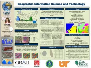
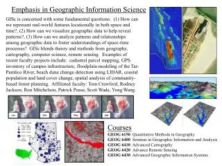
Jan Mar May Jul Emphasis in Geographic Information Science GISc is concerned with some fundamental questions: (1) How can we represent real-world features locationally in both space and time?, (2) How can we visualize geographic data to help reveal patterns?, (3) How can we analyze patterns and relationships among geographic data to foster understandings of space-time processes? GISc blends theory and methods from geography, cartography, computer science, remote sensing. Examples of recent faculty projects include: cadastral parcel mapping, GPS inventory of campus infrastructure, floodplain modeling of the Tar-Pamlico River, beach dune change detection using LIDAR, coastal population and land cover change, spatial analysis of community-based forest planning. Affiliated faculty: Tom Crawford, Rodney Jackson, Ron Mitchelson, Patrick Pease, Scott Wade, Yong Wang. Courses GEOG 6150 Quantitative Methods in Geography GEOG 6400 Seminar in Geographic Information and Analysis GEOG 6410 Advanced Cartography GEOG 6420 Advance Remote Sensing GEOG 6430 Advanced Geographic Information Systems