Download
1 / 23
230 likes | 379 Vues
Sang Yoo Rahall Transportation Institute. A GIS Portal for a Multi-State Appalachian Development Highway System. Appalachian Regional Commission (ARC). A Regional economic development agency that represents a partnership of federal, state, and local government

E N D
Sang Yoo Rahall Transportation Institute A GIS Portal for a Multi-State Appalachian Development Highway System
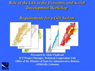
Appalachian Regional Commission (ARC) • A Regional economic development agency that represents a partnership of federal, state, and local government • Established by an act of Congress in 1965, ARC is composed of the Governors of the 13 Appalachian states and a Federal Co-Chair, who is appoint by the President • By the same act of establishing ARC in 1965, Congress also authorized construction of the Appalachian Development Highway System (ADHS) • ADHS has been subsequently authorized for funding under TEA- 21/SAFETEA-LU and administered by ARC and FHWA
Nick J. Rahall, II Appalachian Transportation Institute (RTI) • National University Transportation Center (UTC) established in 1999 at Marshall University • Center Theme: Transportation and economic development in mountain regions • Recognized center of excellence in transportation research and economic development, technology development, and training • Funded through the Research and Innovative Technology Administration (RITA) of the U.S. Department of Transportation
The Appalachian Development Highway System • Purpose: • Create Economic Opportunities and Jobs. • Close Gaps from the Interstate System. • Open Areas for Development and Recreation. • Establish Commuter Routes and Freight Routes. • Characteristics: • 3,090 Eligible Miles in Length. • 31 Corridors. • Mostly 4-lane Highways • Initial Construction Only
Before the ADHS Corridor B After the ADHS Kentucky
Purpose of the ADHS Cost to Complete Estimate Study • Establish the program funding level • Determine apportionment factor • Develop new policy and legislation
ADHS GIS System • Objective • To develop a GIS system that will help State DOTs to complete ADHS Cost to Complete Estimate. • Expected Functions • Regional and State ADHS Maps • Corridor ADHS Strip Maps • Abilities to view, print, inquire and update ADHS data • Document Management System • Program Cost Tracking
ADHS GIS PROJECT • Cost-sharing partner with ARC • Portions of 13 States covering Appalachia • Phase I - III completed 2002 – 2007 • Enhanced phase 2007 - 2010
Before the GIS State Map After the GIS West Virginia
Before the GIS Corridor D Strip Map Scale 1 inch = 1 mile After the GIS
EADHS.ORG • Web portal for ADHS • Cost to Complete • Internet Map – ESRI ArcGIS Server • Cost Estimate Tables • Cost Tracking • Annual Update