Download
1 / 9
90 likes | 225 Vues
This document discusses the balanced spatial development of the Frankfurt Rhein-Main area, focusing on the heterogeneity of population and employment growth from 2000 to 2007. It elaborates on the planning structures in place, including a two-tier system and a comprehensive Regional Land Use Plan. Key instruments for development in the region are outlined, emphasizing the importance of cooperation among peri-urban towns and cities to recognize and leverage their territorial potentials. The document serves as a call for collaborative efforts in regional planning.

E N D
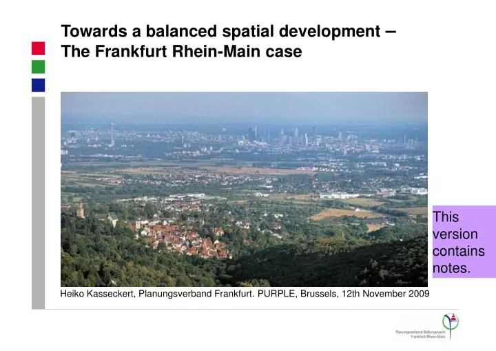
Towards a balanced spatial development – The Frankfurt Rhein-Main case Heiko Kasseckert, Planungsverband Frankfurt. PURPLE, Brussels, 12th November 2009 This version contains notes.
Heterogenerous pattern of population development Population development 2000-2007 (%) -5.5 to 0 6.0 to 20.5
Heterogenerous pattern of employment development Employment development 2000-2007 (%) -43.3 to 0 20.0 to 228.2
Regionalplan Reg FNP Flächennutzungsplan Bebauungsplan The System of Planning in Frankfurt Rhein-Main Region • Hessen: • 3 Tier System • Frankfurt Rhein-Main Region: 2 Tier System
The Regional Land Use Plan – Our Key Instrument • The Plan for the 75 Towns and Cities of the Region‘s Core • Regional Plan and Land Use Plan combined • Outline of the Development until 2020 „Regionaler Flächennutzungsplan“
A complex plan • Plan Layers • Building Areas • Open Space • Agriculture and Forestry • Nature and Landscape • Transport • Hierarchy of Centres • Green Belts Network
Necessary, but not sufficient It‘s all there… …but just a plan. A Region will live on co-operation… …about tangible topics. It‘s not the core city alone… …but the complex network of all regional players. The peri-urban towns and cities need acceptance of their own territorial potentials… …and partnerships to make their case.