Download
1 / 14
140 likes | 163 Vues
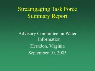
Streamgaging Task Force aims to improve streamflow information nationwide by identifying optimal network, funding needs, and preparing recommendations. Members include key water organizations and agencies.

E N D
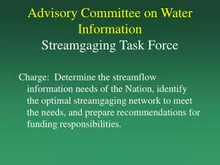
Advisory Committee on Water InformationStreamgaging Task Force Charge: Determine the streamflow information needs of the Nation, identify the optimal streamgaging network to meet the needs, and prepare recommendations for funding responsibilities.
Streamgaging Task Force Members Interstate Council on Water Policy U. S. Geological Survey American Association of State Geologists American Society of Civil Engineers American Water Resources Association Association of State Floodplain Managers Association of Western State Engineers Ground Water Protection Council
Streamgaging Task Force Members Tennessee Valley Authority Western States Water Council Bureau of Reclamation National Weather Service Natural Resources Conservation Service U. S. Environmental Protection Agency U. S. Army Corps of Engineers
Streamgaging Task ForcePlan • Identify goals of a national network • Compile information on all streamgaging stations • Evaluate achievement of goals using USGS network model • Identify additional stations needed to achieve each goal • Estimate cost of new or upgraded stations • Recommend a long-term funding strategy • Submit final report by December 31, 2000
Streamgaging Task ForceNetwork Goals • NWS and NRCS forecast points* • NFIP communities • Key river basins* • River basin compacts and decrees* • Major river crossings of state, tribal, and international boundaries* • Representative streams and rivers for flow estimation and long-term trends* • River reaches with impaired water quality
Streamgaging Task ForceNetwork Goals 8. Rivers with point-source discharge permits • Inflow and outflow of major reservoirs • Major rivers with diversions • Rivers draining Federal lands • Rivers with significant canoeing, kayaking and rafting • Rivers supporting migratory fish populations • Rivers used for commercial navigation
Stations Operated by Other Organizations Number of stations 49
Meta data required for adding stations to network model • Station code • Station name • Latitude/longitude • Drainage area • Years of active record • Availability of telemetry • Data quality • Funding
USGS Network Model • Conterminous U.S. • 60,000 streams (total 1M kilometers) • 329 river basins and 2,200 watersheds • 18,000 NFIP communities • 303(d) file of impaired reaches • NPDES permits • Reservoir inventory • Whitewater inventory • Water use by county and HUC • 20,000 streamflow stations • 7,000 USGS active • 1,800 other stations
Maryland Rock Creek POTOMAC R. AT LITTLE FALLS D.C. Annacostia R. Difficult Run Virginia Holmes Run Accotink Cr. Triangles show historical USGS streamflow stations. Not all are currently active.
PASS FAIL Flooding Goal: Provide flow information for populations at risk from flooding Metric: NWS service locations supported by gages
Priority for Additional Stations • Upgrade existing stations operated by other organizations • Stage-Q rating • Telemetry • Serve data on the internet • Reactivate discontinued stations • Build new stations
Long-term Funding Strategy • USGS provide data processing and dissemination infrastructure • USGS support and operate critical Federal stations • OFAs support other Federal interests • States and USGS support stations that have both a Federal and State/local interest • States support local-interest stations