Download
1 / 28
280 likes | 295 Vues
Explore the journey of India in remote sensing technology, from national to international missions, and its various applications in agriculture, land use mapping, disaster monitoring, and more.

E N D
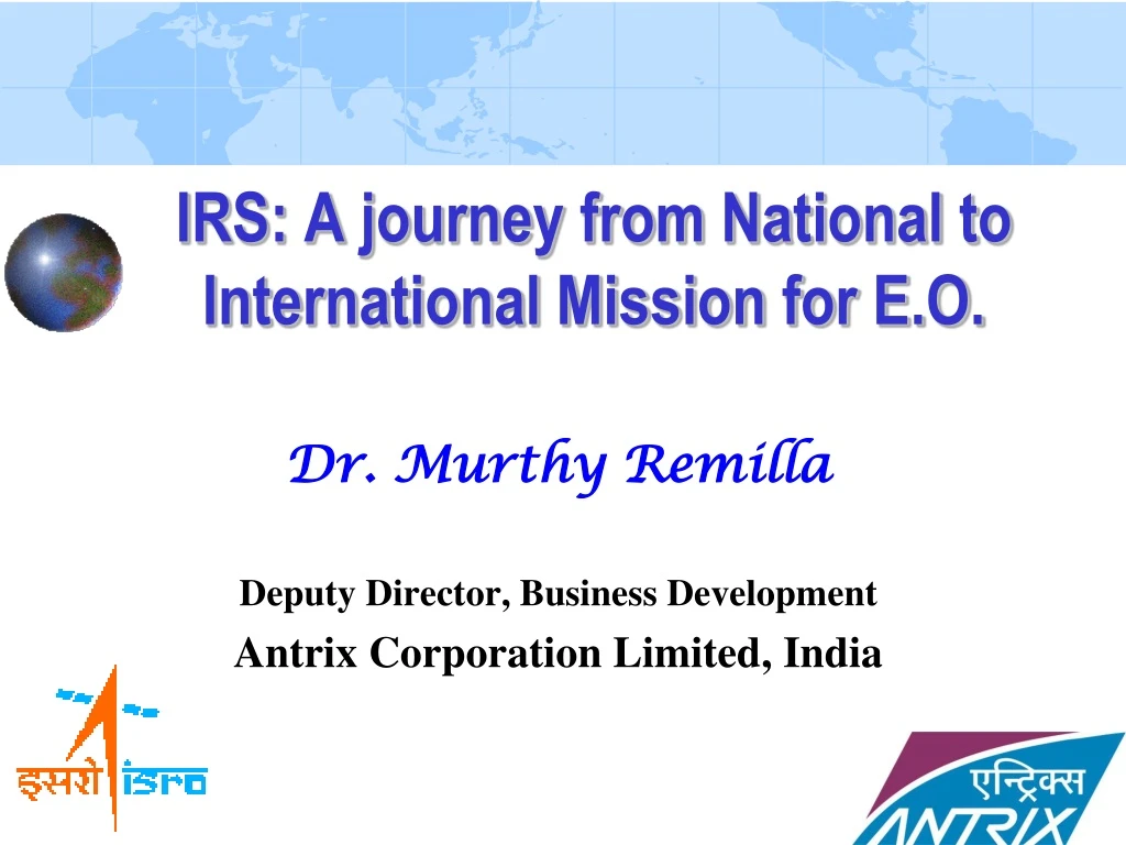
Dr. Murthy Remilla Deputy Director, Business Development Antrix Corporation Limited, India IRS: A journey from National to International Mission for E.O.
“Aakramya Vaajin Pruthiveem agnimiccha, ruchaatvam Bhoomyaa vrutvaaya no broohi yataha Khanaama,tam Vayam” (Tattireeya Samhitaa, 4.1.2) Prayer to an angel, ‘Vaajin’ which has three characteristics viz., (i) Capability to fly in the sky, (ii) capability to release a beam of rays, and (iii) capability to walk on the earth There, he prays to the angel that: it should fly first in the sky spread a beam of rays onto the earth and identify the location of the clay, and then walk over the earth at the identified location and confirm the place where the seeker has to conduct digging for the required clay INDIAN TRYST WITH THE CONCEPT OF REMOTE SENSING
Contineous advances in Indian Sensor Technology Bhaskara-1 & 2 Earth Observation Sensor Development Microwave Optical Microwave TVPayload Frame imager 341*341 Sq M 1Km GSD Two Spectral bands Intensifier coupled SUPER Vidicon Refractive optics SAMIR Dicke Radiometer 3 frequencies 19.35,22.35 and 31 GHz 150-250 Km GSD 1500 Km swath Forerunners to Operational Remote Sensing Missions- IRS series
Cartosat-1, ( IRS-P5) 2005 2.5m STEREO IMAGING TES PANCHROMATIC ~ 1m RESOLUTION RESOURCESAT-1, 2003 PAN 5.8m LISS 23 WIFS 140 m Cartosat-2 & 2A (2007/08) IMS-1, 2008 Oceansat-2,2009 OCM, SCATTEROMETER, ROSA PANCHROMATIC 1m RESOLUTION MX 36 m HYSI 64 BANDS IRS - Currently Operational Satellites
Agreement with EOSAT for reception of IRS-1B at Norman, OK, USA Continued with SI for global marketing of IRS data Global availability of IRS Added IRS-1C/1D and later IRS-P6 1996: IRS – International Take Off
GAF/Euromap, Germany started IRS-1C/1D in 1998/99 Continued for Resourcesat-1 (2005) Added Cartosat-1 (2007) Eagerly waiting for Resourcesat-2 A real source for highly useful feedback IRS in European projects: GMES: Global Monitoring for Environment and Security Image2009: Wall to wall coverage of Europe AMSC: Agricultural Monitoring and Subsidy Control Farm star Campaign FLTS agreement 1999 : Germany: The Follow On
IRS in Europe User User • GAF/Euromap, Germany started IRS-1C/1D in 1998/99 • Continued for Resourcesat-1 (2005) • Added Cartosat-1 (2007) • Eagerly waiting for Resourcesat-2 • A real source for highly useful feedback • IRS in European projects: • GMES: Global Monitoring for Environment and Security • Image2009: Wall to wall coverage of Europe • AMSC: Agricultural Monitoring and Subsidy Control (crop type over 249 HR sites scattered across Europe ) • Farm star Campaign • FLTS agreement EEA Part of JRC Unit Data funded by Data provision Ortho processing
Thailand – GISTDA received and distributed IRS-1C/1D 2000-2002 Iran – a turnkey ground station, 1C/1D, P6,P5 since 2002 Algeria-turnkey project – R1 Australia – R1- 2006 IRS Main uses in Australia : Drought monitoring Forest fire monitoring Land use mapping Flood mapping China : R1-2006 Crop acreage monitoring by remote sensing based on IRS-P6 Land use remote sensing monitoring of Cities Wheat and corn yield estimation Forest surveys Case study: Queensland floods Expansion to new Geographies
Land use studies in China- Resourcesat-1 Figure3. changing patterns (2006--2008) in Huaiyuan county Figure 1. image of 2006 Figure 2. image of 2008
IRS C1 in China (2008) • Surveying & Mapping • Land Use Monitoring • Agriculture • City planning Area: >50000km2 Scale: 1:50000,1:10000 USER: Geomatics Center of China, Sichuan Province Year: 2007-2009 Surveying and Mapping in most parts of China (1:25000 )
Athens 2.5m 11
Durban 2.5m 12
Lisbon, 2.5m 13
USDA-FAS Program …. Major user of IRS IN USA • Participating agencies: • National Agricultural Statistics Service • Foreign Agricultural Service • Farm Service Agency • Natural Resource Conservation Service • Risk Management Agency • US Forest Service • Animal Plant Health Inspection Service • Agricultural Research Service • Data supply to USDA • Purchased primarily Landsat data prior to 2006 • Primarily Resourcesat data in 2006, 2007, 2008,2009, 2010 and continuing USDA Data Holdings
C1 Mono data + R1 Mx: color image map for site selection of electronic transport towers in Africa C1 Mono data + R1 Mx: Environmental Analysis C1 stereo data – Mapping inaccessible areas in and out of Korea for construction monitoring, scale – 1: 25,000 + DEM generation Merging C1 + Rapid Eye for color Image mapping , scale: 1:25,000 IRS applications in S. Korea (through M/s GeoInfotech Innovation, Seoul Since 2007)
World’s best resolution OCM from Oceansat-1 Fire Detection using Oceansat-1 OCM • Tie-up with SeaSpace • Peak of 8 stations • 4 in USA, Germany, • Spain, Thailand, • Malaysia • Oceansat-2 Clouds Pt. Conception LA OCM RGB Color Composite - urban fires in Fallbrook (North of San Diego, S. California U.S.) February 10, 2002 Clouds
2008 special year: Snapping tie-up with SI Marketing on own New Geographic expansion Entry to Australia New Bird in the Sky - Cartosat-2 Commissioning of Algerian Station on a turn-key basis 2008: Beginning of Antrix 2.0 for IRS • 2009-10: • C2 to 3- Eagle Vision stations • New resellers in the network • Oceansat-2 agreement with SeaSpace • Expanding interest in Cartosat-1 & 2
Increasing Thirst for High Resolution Global political security situations & frame works - dual use systems Ref: Sentinels rising : Lt Col Larry K Grundhauser, USAF
International Acceptance of IRS 20 IGSs, 20- Resellers, 5 continents, 70 countries
Megha-Tropieques • MADRAS, SAPHIR,SCARAB Assurance of Continuity • INSAT-3D • 1km resolution VHRR constant monitoring • cloud cover, temperature & precipitation • SARAL • KA band Altimeter • ARGOS data relay system • RESOURCESAT-2 • Follow-on of Resourcesat-1 • Enhanced payloads
RESOURCESAT-2 • Continuity of operational services of R1 to both National & International Users • Three Payloads • LISS-4 Mx camera with 70 Kms swath • LISS-3 with improved radiometric resolution • AWiFS with improved radiometry • Launch schedule: Q1-2011 24
Orbit : 6 am / 6 pm polar sun Synchronous Altitude : 536.38 Km SAR PAYLOAD : C-Band (5.8 GHz) Active Phased Array Antenna Technology SAR operating modes : CRS, MRS, FRS, HRS ResolutionSwath CRS : 50 m 240 kms MRS : 25 m 120 kms FRS : 3 to 6 m 30 kms HRS : 1 to 2 m 10km x 10 km RISAT-1 Data rate : 640 Mbps SSR : 240 Gbits P/L Opn duration : 12 mins per orbit Satellite mass : 1850 Kgs Life : 5 years 25
GEO-HR-IMAGING SATELLITE • High resolution multi-spectral VNIR : 50m Resolution in 4 bands. • Hyper spectral VNIR : 320m Resolution in 60 bands. • Hyper spectral SWIR : 192m Resolution in 150 bands. • High resolution Multi-spectral : 1.5km Resolution in 3 bands. • Data Rate : 200 Mbps • Data Transmission : Ku band • S/C Mass : 2270 Kg (S/C Dry Mass 850 Kg + PAM G 453 Kg + Propellant 967 Kg ) • Power : 1600 Watts • Launch by GSLV : 2014-15 27
HYPER SPECTRAL IMAGER SATELLITE Ray Diagram of Optics FORE-OPTICS THREE MIRRO R TELE SCOPE SLIT CONVEX GRATING SPECTROMETER DETECTOR • 50 M RESOLUTION, 30 KM Swath in • VNIR (400 - 1000 NM) with 64 bands • SWIR (850 - 2400 NM) with 64 bands • TOTAL DATA RATE : 350 MBPS • SPACECRAFT MASS : 400 KG. • Main Frame Similar To SARAL Bus. • ORBIT : 500 KM POLAR SUN-SYNCHRONOUS. • LAUNCH BY PSLV BY 2013-14 • PROVIDES CAPABILITY TO DETECT CAMOUFLAGE, DECOY AND CHEMICAL SPECIES. 28
TWENTY20 …. and Counting ! Thank You for Your Attention MurthyRemilla@antrix.gov.in