Download

1 / 28
280 likes | 307 Vues
Learn about geoprocessing services, input methods, processing tips, troubleshooting, and output handling. Understand the publishing process, execution modes, and common error resolutions. Get insights on optimizing geoprocessing tasks and handling output parameters effectively.

E N D
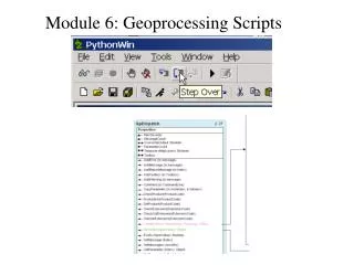
Best Practice for Geoprocessing Service Nathan Smith Harvey Jing
Overview • What is a Geoprocessing Service • Input • Process • Demo 1: Common Geoprocessing Troubleshooting • Output • Demo 2: Output Model Parameter • Question Time
Geoprocessing Service • What is a Geoprocessing Service?
Input • Input data type
Input • Input mode • - Constant value • - Choice list • - User defined value
Input mode Constant value
Input mode Choice list
Input mode User defined value
Input mode REST
Process • ArcMap and ArcGIS for Server have to be the same version • - Documentation says if you're publishing a geoprocessing service, the ArcGIS for Desktop and ArcGIS for Server versions must match. • - The task won’t show up if the version doesn’t match
Process The Publishing Process • Script or model is scanned • Data identified • If NOT in the datastore • Package Workspace is created (data is copied to this location • If in the datastore, • Data identified
Process Message Level of GP service - None - Error - Warning - Info
Process Message Level - None
Process Message Level - Info
Process • Execution mode • - Synchronous (less than five seconds) • - Asynchronous
Process Execution mode • Synchronous
Process Execution mode • Asynchronous
Process • Search error code in resource center
Process • Search error code in resource center
Demo Best Practices - Troubleshooting
Output Like input, there are different data types for output parameters http://server.arcgis.com/en/server/10.3/publish-services/linux/output-task-parameters.htm
Output Output must be a model parameter Demo
Output Exceeded transfer limit
Output Set your output to be in scratchGDB or scratchFolder In a python script, use os.path.join(arcpy.env.scratchGDB, “points”) scratchGDB is created in …\arcgisserver\directories\arcgisjobs\<name>_gpserver\<jobid>\scratch