Download
1 / 18
180 likes | 323 Vues
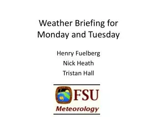
Weather Briefing for Monday and Tuesday. Henry Fuelberg Nick Heath Tristan Hall. Highlights. Note—These are 4-5 day forecasts that are subject to considerable uncertainty. Clouds generally will not be present over CA, NV, OR, WA, or ID

E N D
Weather Briefing forMonday and Tuesday Henry Fuelberg Nick Heath Tristan Hall
Highlights • Note—These are 4-5 day forecasts that are subject to considerable uncertainty. • Clouds generally will not be present over CA, NV, OR, WA, or ID • Coastal stratus tends to diminish during the day and reform during the night and early morning • Small chance of isolated precipitation over mountain regions during the afternoons.
Conditions Monday at 2 PM PDT High off Pacific Coast produces flow from NW at surface over Pacific. Winds become more westerly over Intermountain West Isolated Tstorms (~10% PoPs) could occur over the mountainous areas of WA, OR, and northern CA
Low Clouds valid at 2 PM PDT Monday Low clouds expected off coast of CA. The ECM model is more aggressive with the clouds than the GFS. Since the ECM model has been verifying better than the GFS, we accept the ECM results. Over land, no (or only isolated) clouds expected.
ECMWF Mid Clouds and 500 mb winds (kt) valid at 2 PM PDT Monday The only areas of scattered mid level clouds In the flight areas are portions of WA, OR, and ID. Clouds not expected to be widespread, just scattered. Flow at 500 mb is from SW, associated with Offshore trough. Speeds are ~ 20 kt
ECMWF High Clouds and 300 mb winds (kt) valid at 2 PM PDT Monday • High clouds become more widespread in the northern portions of the flight area, but most of the area is free of high clouds. • The SW monsoon is becoming more active than previous days. Outflow from the storms passes over AZ and portions of adjacent states.
PBL Heights 2 PM PDT Monday PBL heights (m AGL) generally are about 2000 m. The exception is the area around ID
Conditions for Tuesday at 2 PM PDT • No major changes in large scale flow • Isolated precip, again in mountain regions similar to Monday • (dependent upon position of upper-level cutoff low) • Cloud locations and amounts virtually unchanged
ECMWF Mid Clouds and 500 mb winds (kt) valid at 2 PM PDT Tuesday
ECMWF High Clouds and 300 mb winds (kt) valid at 2 PM PDT Tuesday
PBL Heights (m AGL) 2 PM PDT Tuesday
Questions ?? • Contact Henry, Nick, or Tristan • hfuelberg@fsu.edu • nkh09@my.fsu.edu • tjh10c@my.fsu.edu