Download
1 / 25
250 likes | 277 Vues
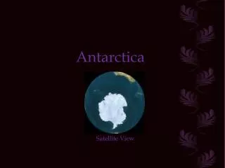
Explore detailed elements such as mapping, data analysis, and multimedia content of Antarctica. Utilizing advanced functionalities like 3D display, querying, and thematic analysis, the atlas covers geo-spatial, scientific, and environmental aspects. Powered by GEOSTAR GIS software, this atlas offers an interactive and immersive experience.

E N D
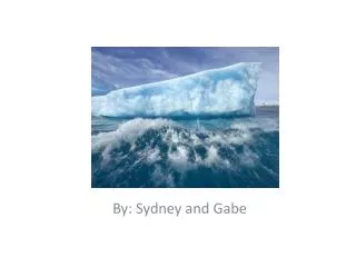
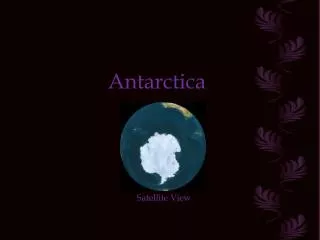
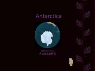
The Cybercartographic Atlas of Antarctica Contribution from Wuhan University, China Dongcheng, E., Nengcheng, C.
Presentation Overview • Proposed Elements of the Atlas • Technical Approach
Primary Elements • Functionality • Content
Functionality • 4 Key Functional Modules • Atlas Browsing • Display and Simulation • Query • Analysis
Atlas Browsing • Catalogue • Sheet map browser • Switching between different maps
Display and Simulation • Manipulation of display parameters • Interactive legends • Animation • 3D Display
Query • Bi-directional query • Keyword and Expression Query • Fuzzy query
Analysis • Perimeter and Area Calculation • Volumetric Calculation • Thematic Analysis
Content • Geo-spatial Data • Multi-media material • Subject areas
Geo-spatial Data • Vector maps • Raster data including satellite imagery • Attribute data • Large database • 90 GB – Physical, geological, meteorological • 40 GB - Geodetic Control, GPS, Metadata
Meta data Scientific research Home data 。。。。。。 Groundwork surveying and mapping Attribute data Hydrographic data Vector data 。。。。。。 Elevation data Image data Internet GIS of Antarctica Data Structure
Home Page Themes • Scientific research • Groundwork surveying and mapping • Stations information • Online help
Data Processing • Conversion to a standard geographic coordinate system possible and may be required • Standard elements of spatial data accuracy are being considered i.e. positional, logical consistency etc. • Data revision strategy being developed
Methods of Data Representation • Imagery • Dynamic maps – time series analysis i.e snowline variation over time • 3D map browsing – zooming, panning, rotating. • 3D terrain fly through/animation
Multimedia Content • Text • Pictures • Video • Audio
Suggested Data Layers • Water system: Coastlines, lakes, rivers, unmelted ice areas, ice shelf data • Island maps: Boundaries, buildings • Water sytems + Islands = base framework • Elevation data • Geodetic control stations • Placenames
Suggested Subject Areas for Investigation • Seabirds • Vegetation such as Lichen or Moss • The Impact of Human Activity in the Antarctic Ecosystem
Software • GEOSTAR GIS • Extensive functionality • Based on an approach that uses the latest object-oriented methods
GeoStar GIS • Software developed by Wuhan University • On-line functions include: • Vivid virtual 3D relief flying • Making Color relief map • Data representation using various media • Display and cruise based on vector and raster map, • Defining communication net and the best path query • Attribute query • Display, cruise and zoom of alterable scale vector and raster maps • Linkages of hot words, multimedia information and map • Navigation function by connecting with GPS.
Technical Architecture Client/Server based on Intranet Spatial data management engine and interface (API) Map scanning vectorizing Browser/Server based on Internet Intranet &Intranet GIS Application Server: Register Service Catalog Service Projection Service Map Service Feature Service Analysis Service Image Service DEM Service 3D Service Client side: Html viewer Applet Viewer Data Side File RDBMS ORDBMS ODBMS Digital pho-togram Image processing DEM and application Mapping Spatial query Spatial analysis
Programming Approach • Server side applications programmed using JAVA 2 • Multi-platform (Microsoft, UNIX)