Download
1 / 38
380 likes | 397 Vues
Assessment of NASA products, WRF results, and LMA data impact on forecasters' confidence and lead times; Integration of satellite data and CI products into forecast operations.

E N D
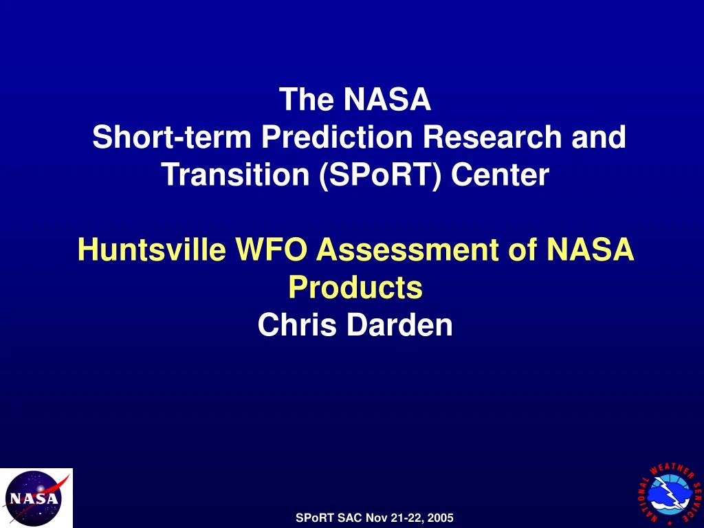
The NASA Short-term Prediction Research and Transition (SPoRT) Center Huntsville WFO Assessment of NASA Products Chris Darden
WRF Assessment Results (from WFO HUN forecaster assessment period) Completed last fall and shared with forecast staff Results were deemed useful by forecasters in decision making process Enhanced Mesoscale Model Training Add’l WRF Seminar held October 12, 2005 Expansion of Modeling Efforts AWIPS ingest started at WFO MOB Also received interest from WFO MRX Brief Review of FY ’05 Accomplishments
Additional LMA Case Studies Gathered Identified approx. 9 cases to date that are of particular interest There are many more cases where LMA data have been used. These cases represent a cross-section of various storm types, thermodynamic, and kinematic regimes 22 LMA Surveys were completed in FY ’05 Significant jump in surveys from the previous year In many cases, the forecasters found the LMA data provided add’l confidence in the Warning Decision Process Either potentially increasing lead times or decreasing FARs A couple of examples will be shown later Brief Review of FY ’05 Accomplishments
A few comments from the LMA Surveys and general correspondence/emails… “When I did look at the LMA data before issuing a warning, I did feel more confident in issuing the warning. I like the LMA data! If this data IS also incorporated into SCAN probably more forecasters here will routinely use this data.” Henry S. - OHX “LMA helped with "confidence" about warnings.” “This (LMA) allowed us additional lead time (10-15 minutes) to issue/update Significant Weather Alerts for the affected county.” “All three warnings were verified with no missed events that we know of. The LMA data was utilized throughout the event by the warning forecaster on duty.” “In particular, there were cells in Shelby and Jefferson counties that showed nice jumps in advance of severe wx occurrences.” Brief Review of FY ’05 Accomplishments
Collaborative efforts have been well represented at professional conferences and workshops Specifically, NWS Presentations Include… Four papers/presentations at 2005 AMS Four more planned for 2006 AMS Oral Presentation at Spring ’05 SECAPS Southern Thunder, DFW Formal Visitview Teletraining materials were prepared and presented to NWS SR forecasters (Feb. ’05) on Total Lightning Applications Material also part of the office severe weather training plan Brief Review of FY ’05 Accomplishments
Expansion of NASA satellite products at NWS field offices Delivery of MODIS and AMSR-E datasets into WFO MFL, MOB, and SMG Feedback from coastal offices quite positive (more about that later) Continued utilization of high spatial resolution NASA satellite data in support of WFO operations Forecasters have noted that the increased spatial resolution of the MODIS datasets has allowed for enhanced customer support/forecasts for mesoscale phenomenon such as fires, valley fog, etc. Will show a few examples… Brief Review of FY ’05 Accomplishments
Inclusion of Convective Initiation Products into AWIPS Initial training session completed Spring ’05 Dry run of “data ingest” during the summer with add’l tweaking Plans for “operational rollout” for the Spring ’06 convective season WFO MRX also interested in CI Products Access to dual-polarimetric ARMOR data (since Spring ’05) has provided add’l avenues for collaboration and research activities. Brief Review of FY ’05 Accomplishments
Since early May, WFO MFL has been receiving MODIS and AMSR-E products This brings the total number of WFOs receiving some form of NASA developed or derived products to 7. During a recent event of very high impact (Hurricane Wilma), these datasets were quite helpful in the decision making process for the local forecast office. However, even during more benign regimes, these datasets are quite useful in the data sparse regions adjacent to the Gulf of Mexico. Now…Let’s Share a Few Success Stories
“…in high wind events tipping buckets don’t always give you the true sense of how much is really raining.” • “…MODIS data we have found it to be very useful in giving us a better sense of how extensive the cloud cover is at night, detecting low level clouds which is critical for aviation forecasting operations…detecting cloud streets and subtle convergent lines during day time with the high res visible” Pablo Santos, SOO
“Here's an example from yesterday (the 7th) of how we can use the 88D and 3.9u IR imagery to sense fires during the fire weather season.” Andy Kula, WFO HUN Note: The IR temp was only 27C from GOES (not shown) but showed up much better from MODIS. Location of Fire
High resolution data quite useful to assess existing soil moisture • MODIS SSTs provide much more detailed information for coastal office • Coastal offices can utilize this detailed information for ingest into GFE for water temps and other smart tools and procedures
Why is it important? Provides our forecasters with much needed experience with the WRF model Provides an alternative mesoscale solution to the NAM (as potential input into GFE) NCEP WRF currently only run once per day Lack of continuity not desirable Forecasters not able to “get a handle” on how the model is doing Not available in AWIPS Local Modeling
00 UTC August 4, 2005 24h forecast: 3h accumulated precipitation WRF NAM Composite radar reflectivity
36h forecast: 3h accumulated precipitation NAM WRF 12 UTC August 25, 2005 Composite radar reflectivity
Utilization of LMA Source Density Fields for Warning Decision Making Utilization of LMA for “first strike” forecasting Development of Lightning Threat Index for Emergency Managers Correlate LMA fields with CI work to improve convective “nowcasting” and TAFs Lightning Initiatives
LMA Source Density vs. Time Jump Source Density F1 12 min 10/18/04 Lightning Case Study #1 • October 18, 2004 • Rotating storm near edges of radar coverage • LMA provided forecaster extra confidence in tornado warning
Radar Coverage KHTX KGWX o 0.5 Elevation Heights FROM KHTX 10889 ft MSL FROM KGWX 7559 ft MSL
October 18, 2004 Case 0.5 º SRM 1.5 º SRM Developing Mesocyclone/Hook 0.5 º Refl LMA Source Density Minimal Electrical Activity 2234 UTC
October 18, 2004 Case 0.5 º SRM 1.5 º SRM Persistent Couplet 0.5 º Refl LMA Source Density Lightning Jump 2240 UTC
October 18, 2004 Case 0.5 º SRM 1.5 º SRM Strengthening Couplet 0.5 º Refl LMA Source Density Slight decrease in source count 2244 UTC
October 18, 2004 Case 0.5 º SRM 1.5 º SRM Minutes before tornado touchdown 0.5 º Refl LMA Source Density Continued decrease in sources 2250 UTC
Lightning Case Study #2 • November 15, 2005 • Rotating storm again near edges of radar coverage • LMA provided forecaster extra confidence in tornado warning 1/2” F0
November 15, 2005 Case LMA Source Density 0.5 º SRM Minimal Electrical Activity Broad Rotational Couplet 0.9 º Refl 0.5 º Refl 0213 UTC
November 15, 2005 Case Some Increase in Rotation and IC Rates 0217 UTC
November 15, 2005 Case Lightning Jump and Tightening of Couplet 0221 UTC
November 15, 2005 Case Decrease in IC Sources Rates 0226 UTC
November 15, 2005 Case Time of Tornado Touchdown 0230 UTC
Can LMA Data Provide CG Lead Time? • Some Results from NSSL Experiments • 20-25% within one min., 80% within 8 mins. Courtesy Don MacGorman (STEPS Experiment)
LMA Providing Lead Time for First CGs Developing Convection No CGs reported 10-20 LMA sources
Dr. Mecikalski at UAH Use in conjunction with LMA to highlight threat areas Illustrates possible thunderstorm development next 0-2 hours Provide enhanced nowcasting information and expanded support to local partners and customers Team up with Convective Initiation
Satellite-Lightning Relationships • Current Work: Develop relationships between IR TB/TBand lightning source counts/flash densities toward nowcasting (0-2 hr) future lightning occurrence • * Supported by the NASA New Investigator Program Award #:NAG5-12536 North Alabama LMA Lightning Source Counts 2040-2050 UTC 2047 UTC 2147 UTC 2140-2150 UTC kkoooooooookkkkkkkkkkk
Provide a decision support tool to local emergency managers Would include some type of threat index or probability of lightning Based on LMA/NLDN output, cell tracking information, and hopefully 0-3 CI information End Result
WFO Collaborative Goals For The Coming Year…. Finalize and deliver a Lightning Threat Index/Product (in some form) to the emergency management community Begin utilizing ADAS in operations for analysis and as initialization/verification input into GFE. Another Lightning Teletraining Session… A recorded version of the Visitview files for audio playback Develop a clearer picture of “where we’re going” with the local/mesoscale modeling program Local modeling is EXTREMELY important to the WFO, and we want this relationship to continue in some capacity! Summary and Future Plans
WFO Collaborative Goals For The Coming Year…. Solidify contact points at WFO BMX and OHX. Take FAM trips if necessary/requested. Integrate the CI products into our aviation and short term forecast “framework” Ensure adequate staff training and familiarization Continue to synthesize dual-polarimetric (ARMOR) data and other near-storm environment datasets (MIPS) with NASA products/datasets to enhance short term forecasts and warnings NWS SCEP student (and UAH master’s student) currently working on such a cross-cutting thesis Continue to gather/identify LMA cases of interest and pursue partnership with FL/NSSL Lightning Proposal Summary and Future Plans
Continue to Gather LMA Case Studies Goal is to have one extensive case study (May 6, 2003) complete and delivered to all participating offices this year Need to identify available resources to conduct add’l thorough studies/event reviews for verification and publication WFO time limited in this area Perhaps a fully funded graduate student? Summary and Future Plans
A Bigger Picture Idea…. Can’t take credit for this one. Our MIC Mike Coyne came up with the idea originally. Start a “Special Topics” course in the UAH ATS program which would essentially be a formal volunteer program with the NWS One of the tasks of the students participating might be assisting with the “heavy lifting” necessary for case studies, reviews, verification, etc. Summary and Future Plans