Download
1 / 12
120 likes | 246 Vues
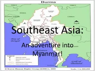
This document summarizes the outcomes of the GLC 2000 workshop held in Ispra from March 18 to 22, 2002. The workshop focused on the analysis of land cover and land use in Southeast Asia utilizing various data sources such as Landsat and SPOT vegetation data. Key findings include the classification of different forest types, including evergreen and deciduous forests, shrublands, croplands, and water bodies. The study employed methods like supervised and unsupervised classification to refine land cover maps and enhance classification accuracy.

E N D
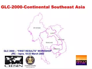
GLC-2000-Continental Southeast Asia GLC 2000 – “FIRST RESULTS” WORKSHOP JRC – Ispra, 18-22 March 2002
MaxDVI MaNMiVZ MaNMiRED MaxNDVI MaxNDWI MaxNDDI S10Dry S10Wet
Masking Procedure • Pixels polluted with clouds, cloud shadow, or defective SWIR sensor effect, and pixels located beyond the critical view zenith angle for maintaining spatial resolution were discarded
Data Used Mosaic of Dry Season (Jan-Feb, 2000) 2R, 1G, 4R
Supervised Classification Unsupervised Classification
Land use/land cover maps Forest cover maps Landsat/SPOT data
Land Cover Labels-LCCS • Broadleaved Evergreen Forest • Broadleaved Deciduous Forest • Needleleaved Evergreen Forest • Needleleaved Deciduous Forest • Semi-deciduous Forest (Mixed Forest) • Broadleaved Evergreen • Flooded Forest • Mangrove Forest • Wooded Land (inundated) • Shrubland • Herbaceous (Grassland) • Barren or Sparsely Vegetated • Croplands • Snow and Ice • Waterbodies
Grassland SPOT VEGETATION LANDSAT 7
Evergreen and Deciduous is Difficult Evergreen Forest Landsat 7 Data Deciduous Forest
On-going Activities • Use summer season data • Refine classification results • Use other classification approaches • Decision Tree Classifier • Expert Image Classifier • Acquisition of Landsat 7 ETM+