Minnesota 2008 NAIP Orthoimagery Update
100 likes | 202 Vues
Shared funding agreement for color digital aerial photographs in 2008 through USDA’s NAIP program. Features full statewide coverage at 1-meter resolution with delivery starting in September 2008. MN Vendor announced on 4/17/08. Contact Chris Cialek for partnership opportunities.

Minnesota 2008 NAIP Orthoimagery Update
E N D
Presentation Transcript
2008 NAIP Orthoimagery Update Chris Cialek MN Land Management Information Center May 7, 2008
Agreement • Shared-funding agreement to provide state coverage of color digital aerial photographs in 2008 • Brokered through the USDA’s Farm Service Agency (FSA) as part of its National Agriculture Imagery Program (NAIP) • Eight state agencies are helping to provide state’s share to fund the project
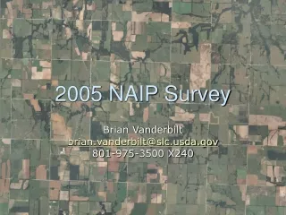
Product Specifications • Full statewide coverage • 1-meter resolution (options may exist for higher resolution data cost-sharing partnerships) • Digital, four band camera: red, green, blue, near-infrared (NIR) • Orthorectification using ground control coordinated by MnDOT • Two products will be delivered: • Compressed county mosaics • Natural color (no NIR in this format) • JPEG2000 format • Delivery likely to begin in September 2008 • Uncompressed quarter-quadrangle files • Four bands: red, green, blue and NIR • GeoTIFF format • Delivered as quality-control is completed, likely during the first quarter of 2009
Control Targets • MnDOT establishing control point network to assure accuracy • Contributors: • MnDOT >100 points • 80 counties ~300 points (11 completed) • Accuracy • Contracted: 6 meters • Anticipated (MnDOT): 4-5 meters
Recent Developments • FSA will allow early flights over six northeastern counties – Cook, Lake, St. Louis, Carlton, Koochiching and Itasca – in hopes of collecting leaf-off imagery. Weather conditions will largely dictate how successful this effort will be. • In addition to providing leaf-off orthoimagery for the Arrowhead, SURDEX is considering flying the region at a lower elevation to produce two-foot resolution orthoimagery, in addition to the federally-contracted one-meter product. Incremental cost of providing the higher resolution product is about $15.00 per square mile. • If you think your county or municipality might be interested in partnering in this higher resolution “buy-up”, or if you have questions about the project, please contact Minnesota’s NAIP state liaison, Chris Cialek, as soon as possible.
May June July Aug Sept Oct Nov Dec Jan Feb Mar April May Schedule Image Acquisition Quality Assurance Compressed County Mosaic Partners Full Resolution Quarter Quads
Online Updates: http://www.lmic.state.mn.us/chouse/airphoto_usda.html Samples: ftp://ftp.lmic.state.mn.us/pub/data/remote_sensing/naip_2008_2ft