German Guidelines for Integrated Network Planning (RIN 08)
190 likes | 205 Vues
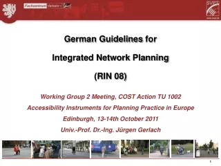
German Guidelines for Integrated Network Planning (RIN 08). Working Group 2 Meeting, COST Action TU 1002 Accessibility Instruments for Planning Practice in Europe Edinburgh, 13-14th October 2011 Univ.-Prof. Dr.-Ing. Jürgen Gerlach. The Hierarchy of roads.

German Guidelines for Integrated Network Planning (RIN 08)
E N D
Presentation Transcript
German Guidelines for Integrated Network Planning (RIN 08) Working Group 2 Meeting, COST Action TU 1002 Accessibility Instruments for Planning Practice in Europe Edinburgh, 13-14th October 2011 Univ.-Prof. Dr.-Ing. Jürgen Gerlach
The Hierarchy of roads Basis: Road Levels based on „Buchanan Report“
Network Hierarchy in Germany • Basis: Land Use - Levels of centrality: • Agglomerations (A) with an international or very large area of influence; • Upper-level centres (UC), which are administrative, service, cultural and business centres and which provide more specialised services; • Mid-level centres (MC), which cover increased or less specialised demand and which are focal points for business, industry and services; • Basic centres (BC), which provide basic services for everyday needs to people within their own local area; including lower and small centres that have to be specified in the spatial planning on the state level and on the regional level
Spatial structure and Agglomerations (A left side);upper-level UC and mid-level MC centres (right side)
Target values for the accessibility of central locationsfrom residential areas/locations
Target values for the accessibility of central locationsfrom the neighbouring central locations of the same levelof centrality
Accessibility of central locations by car. Source: BBR, 2005
Road categories for motor vehicle traffic and target values for median car speed
Road Network in Germany Red = AS 0, Motorways Blue = LS I, Express Roads
Categories for Public Transport and target travel speed
Categories for bicycle infrastructure and target values for travel speed for daily traffic
Service quality level for point-to-point speed for a comparative assessment of motorised individual transport and Public Transport
Example: Service quality level Motorised Individual Transport in the Region Stuttgart
Thanks for your attention! • Prof. Dr. Juergen Gerlach • svpt@uni-wuppertal.de • www.svpt.de