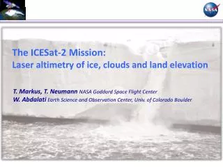
ICESat Mission Overview: Advancing Earth Science and Environmental Protection
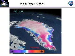
The ICESat mission, developed by NASA's Earth Science Enterprise, aims to enhance our understanding of Earth's climate and environmental changes. Launched on November 28, 2006, this satellite accurately measures ice sheet elevations, atmospheric components like clouds and aerosols, land elevations, and sea ice thickness. With a circular orbit at an altitude of 600 km and an inclination of 94 degrees, it operates over 3 to 5 years, providing critical data for climate models and weather forecasts, ultimately helping to protect our planet.

ICESat Mission Overview: Advancing Earth Science and Environmental Protection
E N D
Presentation Transcript
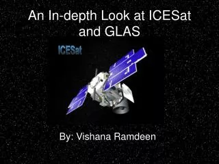
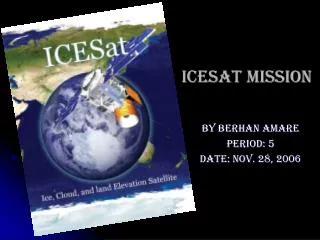
ICESat Mission By Berhan Amare Period: 5 Date: Nov. 28, 2006
James Watzin NASA ‘s Earth Science Enterprise (ESE) has developed the ICESat mission to provide answer to these – how to protect our planet also understand. Owner (who built it) information is complete
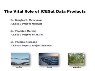
ICESat Mission’s part of ESE • ice sheet elevations • changes in elevation through time, • height profiles • clouds and aerosols, land elevations and vegetation cover, and approximate sea ice thickness.
What does this satellite's orbit look like? • ground track will process to the West as the Earth rotates • Altitude: 600 km circular • Inclination: 94 +0/- 0.5 degrees Period: 96.7 minutes • Repeat Cycle: 183 days Non-Sun-Synchronous • Designs to operate 3 to 5 years
Goals of the Mission? • Need to know what percentage of clouds cover the earth every day in order to make their computer climate models and weather forecast models work better. • Need to know what measure of height distribution of moisture and pollutants in atmosphere.
http://icesat.gsfc.nasa.gov/ http://www.eijournal.com/3_IceSat.asp