Download
1 / 5
50 likes | 219 Vues
Indian Atlas of Rainfall Spatial and Temporal Variations. Part III. INSTRUMENTAL PERIOD RAINFALL VARIATION OVER MAJOR AND MINOR RIVER BASINS OF INDIA (1813-2003). Nityanand Singh N.A. Sontakke H.N. Singh. Indian Institute of Tropical Meteorology, Pune 2005.

E N D
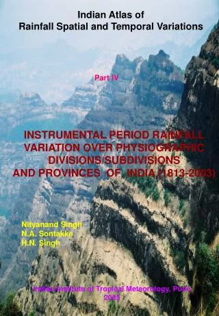
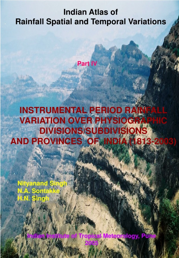
Indian Atlas of Rainfall Spatial and Temporal Variations Part III INSTRUMENTAL PERIOD RAINFALL VARIATION OVER MAJOR AND MINOR RIVER BASINS OF INDIA (1813-2003) Nityanand Singh N.A. Sontakke H.N. Singh Indian Institute of Tropical Meteorology, Pune 2005
CONTENTS • Map of India showing 11 major and 31 minor basins • river basins of the country • Longest instrumental monthly, seasonal and annual • rainfall data during 1813-2003 in tabular form • Time series plots of annual, seasonal and monthly • rainfall • 4. Geographical area of the river basins, annual potential • evapotranspiration, start, end and duration of rainy • season (period of reliable rainfall not the monsoon • season), number of rainy days (days with rainfall greater • than 2.5mm), dry/wet epochs in the annual rainfall temporal • pattern etc. The Hard Bound Atlas is 165 pages on Super A3 size (329 mm by 483mm)
LONGEST INSTRUMENTAL RAINFALL SERIES OF MAJOR AND MINOR RIVER BASINS OF INDIA MAJOR BASINS 3.4.1 Indus Basin: 1844-2003 3.4.2 Ganga Basin: 1829-2003 3.4.3 Brahmaputra Basin: 1848-2003 3.4.4 Sabarmati: 1843-2003 3.4.5 Mahi: 1857-2003 3.4.6 Narmada: 1844-2003 3.4.7 Tapi: 1844-2003 3.4.8 Godavari: 1826-2003 3.4.9 Mahanadi: 1848-2003 3.4.10 Krishna Basin: 1826-2003 3.4.11 Kaveri: 1829-2003
LONGEST INSTRUMENTAL RAINFALL SERIES OF MAJOR AND MINOR RIVER BASINS OF INDIA MINOR BASINS 3.5.1 Chenab: 1891-2003 3.5.2 Beas: 1853-2003 3.5.3 Sutlej: 1844-2003 3.5.4 Yamuna: 1844-2003 3.5.5 Ramganga: 1844-2003 3.5.6 Gomati: 1844-2003 3.5.7 Ghaghara: 1844-2003 3.5.8 Gandak: 1848-2003 3.5.9 Chambal: 1844-2003 3.5.10 Sind: 1860-2003 3.5.11 Betwa: 1844-2003 3.5.12 Ken: 1844-2003 3.5.13 Tons: 1844-2003 3.5.14 Son: 1842-2003 3.5.15 Damodar: 1829-2003 3.5.16 Kansi: 1831-2003 3.5.12 Luni: 1856-2003 3.5.18 Wainganga: 1844-2003 3.5.19 Wardha: 1826-2003 3.5.20 Godawari: 1844-2003 3.5.21 Indravati: 1871-2003 3.5.22 Brahmani: 1871-2003 3.5.23 Suvarnrekha: 1848-2003 3.5.24 Bhima: 1826-2003 3.5.25 Krishna: 1836-2003 3.5.26 Tungabhadra: 1837-2003 3.5.27 Penner: 1813-2003 3.5.28 Palar and Ponnaiyar: 1853-2003 3.5. 29 Vaigai: 1846-2003 3.5.30 West Coast Drainage: 1817-2003 3.5.31 Surma: 1848-2003