Download
1 / 6
60 likes | 92 Vues
Explore the variations in rainfall data across physiographic regions and provinces of India from 1813 to 2003. This detailed atlas includes maps, tables, and time series plots showcasing instrumental monthly, seasonal, and annual rainfall patterns, along with key meteorological parameters for each region. A comprehensive resource for researchers, meteorologists, and climate enthusiasts.

E N D
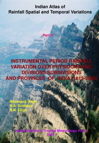
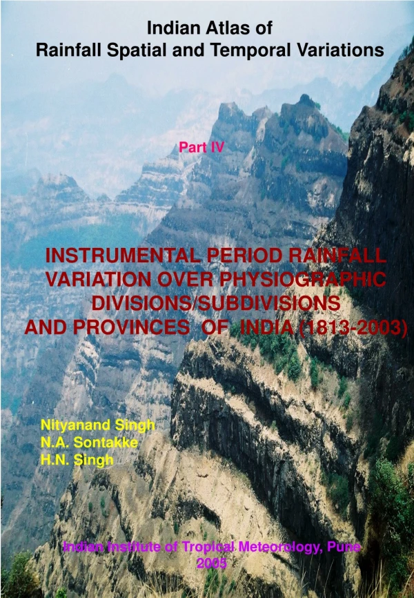
Indian Atlas of Rainfall Spatial and Temporal Variations Part IV INSTRUMENTAL PERIOD RAINFALL VARIATION OVER PHYSIOGRAPHIC DIVISIONS/SUBDIVISIONS AND PROVINCES OF INDIA (1813-2003) Nityanand Singh N.A. Sontakke H.N. Singh Indian Institute of Tropical Meteorology, Pune 2005
PHYSIOGRAPHIC REGIONS Figure 1 26 Scale 1:11 M
CONTENTS • Maps of 15 physiographic divisions/subdivisions and • 41 provinces of the country • Longest instrumental monthly, seasonal and annual • rainfall data during 1813-2003 in tabular form • Time series plots of annual, seasonal and monthly • rainfall • Geographical area of the physiographic region, anuual • potential evapotranspiration, start, end and duration of • rainy season (period of reliable rainfall not the monsoon • season), number of rainy days (days with rainfall greater • than 2.5mm), epochs in the annual rainfall temporal • pattern etc. Hard Bound Atlas is of 211 pages on Super A3 size paper (329mm by 483mm)
LONGEST INSTRUMENTAL RAINFALL SERIES OF PHYSIOGRAPHIC DIVISIONS/SUBDIVISIONS AND PROVINCES OF INDIA Physographic Divisions/Subdivisions 3.6.1 East Coastal Plains: 1813-2003 3.6.2 Eastern Hills: 1852-2003 3.6.3 Eastern Plains: 1829-2003 3.6.4 Eastern Plateau: 1848-2003 3.6.5 Indo-Gangetic Plains: 1829-2003 3.6.6 North Central Highlands: 1844-2003 3.6.7 North Deccan: 1826-2003 3.6.8 North Eastern Range: 1848-2003 3.6.9 Northern Plains: 1844-2003 3.6.10 South Central Highlands: 1844-2003 3.6.11 South Deccan: 1835-2003 3.6.12 West Coastal Plains: 1817-2003 3.6.13 Western Hills: 1829-2003 3.6.14 Western Plains: 1861-2003 3.6.15 Western Himalaya: 1861-2003
LONGEST INSTRUMENTAL RAINFALL SERIES OF PHYSIOGRAPHIC DIVISIONS/SUBDIVISIONS AND PROVINCES OF INDIA Physiographic Provinces 3.7.1 Andhra Pradesh Plains: 1852-2003 3.7.2 Aravalli Range: 1856-2003 3.7.3 Assam Valley: 1848-2003 3.7.4 Awadh Plains: 1844-2003 3.7.5 Rajasthan Bagar: 1867-2003 3.7.6 Baghelkhand Plateau: 1871-2003 3.7.7 Bengal Basin: 1829-2003 3.7.8 Bengal Plain: 1837-2003 3.7.9 Bundelkhand Uplands: 1844-2003 3.7.10 Chhotanagpur Plateau: 1848-2003 3.7.11 Dandakaranya: 1871-2003 3.7.12 East Rajasthan Uplands: 1866-2003 3.7.13 Garhjat: 1871-2003 3.7.14 Gujarat Plains: 1843-2003 3.7.15 Ganga-Yamuna Doab: 1844-2003 3.7.16 Karnataka Plateau: 1835-2003 3.7.17 Kathiawad Peninsula: 1835-2003 3.7.18 Kerala Plains: 1838-2003 3.7.19 Konkan: 1871-2003 3.7.20 Madhya Bharat Pathar: 1871-200
LONGEST INSTRUMENTAL RAINFALL SERIES OF PHYSIOGRAPHIC DIVISIONS/SUBDIVISIONS AND PROVINCES OF INDIA Physiographic Provinces 3.7.21 Maharashtra Plateau: 1826-2003 3.7.22 Malwa Plateau: 1844-2003 3.7.23 Marusthali: 1861-2003 3.7.24 Meghalaya: 1866-2003 3.7.25 Mahanadi: 1861-2003 3.7.26 Narmada Valley: 1844-2003 3.7.27 North Bihar Plains: 1842-2003 3.7.28 Northeasrern Ghat: 1871-2003 3.7.29 Punjab Plains: 1844-2003 3.7.30 Purvanchal: 1849-2003 3.7.31 Rohilkhand Plains: 1844-2003 3.7.32 Satpura Range: 1844-2003 3.7.33 South Kashmir Himalaya: 1891-2003 3.7.34 South Bihar Plains: 1842-2003 3.7.35 South Eastern Ghat: 1852-2003 3.7.36 Tamilnadu Plains: 1813-2003 3.7.37 Tamilnadu Uplands: 1843-2003 3.7.38 Telangana Plateau: 1843-2003 3.7.39 Utkal Plains: 1848-2003 3.7.40 Vindhya Range: 1868-2003 3.7.41 Vindhyan Scarp Land: 1844-2003