
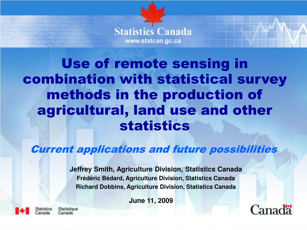
Integrating Remote Sensing and Statistical Methods for Agricultural Statistics Enhancement

This paper explores the combination of remote sensing technology and statistical survey methods in the production of agricultural statistics, specifically in land use and crop area estimates. The case study in Prince Edward Island demonstrates improved accuracy in potato area estimates using a dual-phase approach, involving ground truth data collection and satellite imagery analysis. The findings highlight significant advancements in precision and timeliness of agricultural statistics, offering insights for both developed and developing countries in agricultural data collection and analysis.
Télécharger la présentation 
Politique de téléchargement : le contenu du site vous est fourni TEL QUEL pour votre information et votre usage personnel ; il ne peut être vendu, concédé sous licence ni partagé sur d’autres sites sans l’accord de son auteur.Le contenu vous est fourni TEL QUEL, pour votre information et votre usage personnel uniquement. Téléchargez la présentation en cliquant sur ce lien. Lors du téléchargement, si vous ne parvenez pas à télécharger une présentation, l’éditeur a peut-être supprimé le fichier de son serveur.Pendant le téléchargement, si vous ne parvenez pas à obtenir une présentation, le fichier a peut-être été supprimé par l’éditeur.
F I N