Enhancing Energy and Rural Electrification Planning Using GIS: A Regional Workshop Overview
The Regional Validation Workshop focused on integrating Geographical Information Systems (GIS) into energy and rural electrification planning took place from July 26-28, 2016, in Dakar, Senegal. Participating countries presented their strategies, including institutional frameworks, goals, and the roles of various agencies. Key discussions addressed the tools and technologies used for energy planning, the current status of GIS implementation, and the establishment of Energy Information Systems (SIE) in each country. This workshop provided a platform for sharing experiences, challenges, and innovative approaches to enhance energy planning in the region.

Enhancing Energy and Rural Electrification Planning Using GIS: A Regional Workshop Overview
E N D
Presentation Transcript
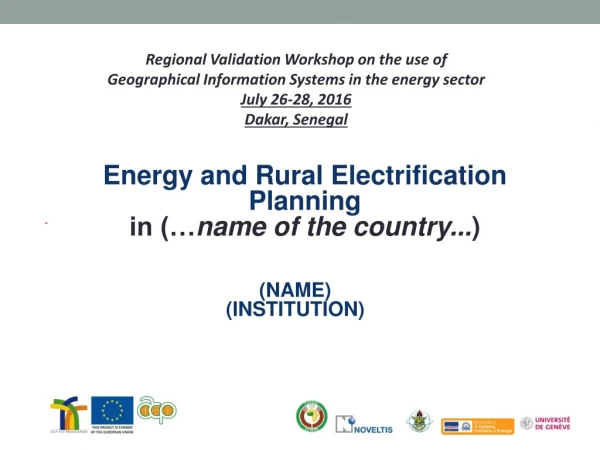
Regional Validation Workshop on the use of Geographical Information Systems in the energy sector July 26-28, 2016 Dakar, Senegal Energyand Rural ElectrificationPlanning in (…name of the country...) (NAME) (INSTITUTION)
Energy and Rural Electrification Planning in (NAME OF THE COUNTRY) QuestionIndex- Information Seven (7) minutes maximum per country. (presentationwill be timed) • Short introduction (1-2 minutes maximum) aboutenergy and rural electrificationplanning in the country (institutions and agencies in charge, goals, contactpersons and roles, etc.) • Energyplanningtool: istheenergyplanningsupportedbyanytool, platform, technology? • GIS implementation: whatisthe status onthe use of GIS forenergyplanning and rural electrification? Tools, technologiesused, agency in chargeand contacts, geospatial data collection and validation, challenges? • EnergyInformationSystems (SIE): has the country established a SIE? Agency in charge and contacts, link to the SIE, structure of the SIE and data collection and validation, etc.
Energy and Rural Electrification Planning in (NAME OF THE COUNTRY) Title CONTENTS
Energy and Rural Electrification Planning in (NAME OF THE COUNTRY) Title CONTENTS
Energy and Rural Electrification Planning in (NAME OF THE COUNTRY) Title CONTENTS
Energy and Rural Electrification Planning in (NAME OF THE COUNTRY) Thankyou (Name/contact)