Wind and Air Pressure
420 likes | 449 Vues
Learn about wind directions and air pressure systems, including air masses, global winds, the Coriolis Effect, jet streams, and frontal systems. Understand meteorological phenomena in a simple and clear way.

Wind and Air Pressure
E N D
Presentation Transcript
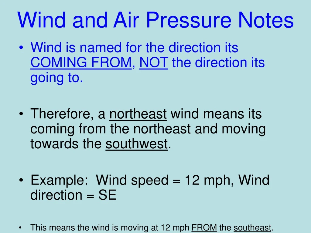
Wind and Air Pressure Notes • Wind is named for the direction its COMING FROM, NOT the direction its going to. • Therefore, a northeast wind means its coming from the northeast and moving towards the southwest. • Example: Wind speed = 12 mph, Wind direction = SE • This means the wind is moving at 12 mph FROM the southeast.
Wind and Air Pressure • When a high pressure system develops, air moves outward from the high pressure area and clockwise. • When a low pressure system develops air moves inward to the low pressure area and counterclockwise.
H L
Wind and Air Pressure • Air pressure is measured using a barometer. • The units are either millibars (metric) or inches of mercury (English). • Lines that connect equal air pressure on a weather map are called isobars. • The closer the isobars are to each other, the higher the wind speed.
ESRT – page 13 has a pressure conversion chart which will be helpful. 996.0 millibars 29.41 inches
Not so windy!! Windy!!
Air Masses • An air mass is a large body of air that takes on the characteristics of the area over which it formed. There are 2 main ways to classify air masses: • 1. Those that form over land are dry. We call these continental (c) air masses. • 2. Those that form over water are moist. We call these maritime (m) air masses.
ESRT– bottom of page 13 gives you the names and symbols of these air masses for free!
Air Masses • Once it is determined if it’s a continental air mass or a maritime air mass, there are 3 different temperature classifications: • 1. Tropical (T) = warm • 2. Polar (P) = cold • 3. Arctic (A) = VERY cold
Now, we can combine the “c” or “m” from the type of air mass and the “T”, “P”, or “A” from the temperature to create each type of air mass: • cT = continental tropical (dry and warm) • cP = continental polar (dry and cold) • mT = maritime tropical (moist and warm) • mP = maritime polar (moist and cold) • cA = continental arctic (dry and very cold) • Not commonly used outside of ESRegents • There is no such thing as a mA air mass – it would be so cold that the moisture would be frozen.
ESRT– bottom of page 13 gives you the names and symbols of these air masses for free!
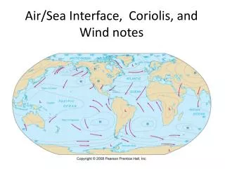
Global Winds • There are three basic wind zones on Earth. • 1. The trade winds • 2. The prevailing westerlies • 3. The prevailing easterlies
Global Winds • The trade winds are found at 30º N and 30ºS latitude. • At these 2 places, air sinks, warms up and then moves towards the equator where it rises again. • This process is a convection current!!
L The sinking air from the north and south hemispheres converge at the equator and are forced upward. This creates a low pressure at the equator.
Global Winds • The prevailing westerlies flow between 30ºand 60º north and south latitude. • We are located in this zone!
Remember, wind is named for the direction it comes from. So, these winds are actually blowing towards the east. **This is why weather moves from west to east in the United States!! These winds move towards the poles.
Page 14 of ESRT N This is us W E S
Global Winds • The prevailing easterlies (a.k.a. polar easterlies) are found between 60º north and south latitude and the north or south poles. • They are characterized by very cold air.
Global Winds • ESRT– bottom of page 14 has a planetary wind belt diagram
The Coriolis Effect • Because the Earth rotates from west to east all winds in the northern hemisphere blow opposite the direction than the ones in the southern hemisphere. • In addition, because it rotates, all winds on Earth are slightly bent or curved rather than straight. • This is called the Coriolis Effect. • Winds curve to the right in the northern hemisphere and to the left in the southern hemisphere.
Coriolis Cannon Game!! Rolling a ball on a Merry go Round
The Jet Stream • The jet stream is literally a river of wind high in the atmosphere. • The jet streams can steer major air masses, pressure systems, and fronts in certain directions. • There are two main jet streams in each hemisphere. • A subtropical jet stream and a polar jet stream.
Fronts • Sometimes air masses can collide with each other. • This will form a front. • A front is a narrow region separating two air masses of different densities. • There are four types of fronts: • 1. Cold front • 2. Warm front • 3. Stationary front • 4. Occluded front
Fronts • Cold Fronts: • In a cold front ,cold dense air will displace (warm air and force the warm air upwards. • Type of weather associated with this type of front is clouds, rain, and thunderstorms. • The symbol on a weather map is a blue line with blue triangles that point in the direction of the cold air movement.
Colder Warmer Warm Cold
Fronts • Warm Fronts: • In a warm front, warm air advances and displaces cold air. • Since cold air is more dense, so it stays on the bottom and the warm air rides over the top of it and condenses into water vapor. • Weather associated with a warm front is usually a lot of clouds and rain. • The symbol on a weather map is a red line with red semicircles pointing in the direction the warm air advances.
Colder Warmer
Fronts • Stationary Front: • Sometimes, when two air masses meet, neither one advances. • They both stay stationary. • It’s kind of like a battle between the two air masses! • You may get rain and clouds with this type of front, but not always. • Symbol on a weather map is a cold front symbol on one side and a warm front symbol on the other side.
Colder Warmer
Fronts • Occluded Front: • Some cold air masses move so fast that they overtake a warm front. • Warm air will get wedged upward. • There are now 2 cold air masses. The original one associated with the warm front and the new one that overtook the warm front.
Fronts • Since warm air is squeezed upward, clouds and rain is very common on both sides of the occluded front. • Occluded fronts are associated with low pressure systems. • Symbol is alternating triangles and semicircles. • It almost looks like a zipper. The cold front symbol moves in on the warm front symbol and zips together to create and occluded front.
Fronts • ESRT– bottom of page 13 gives you the front symbols with their names.