1 / 46

Landforms Geography of the World

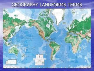
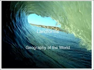
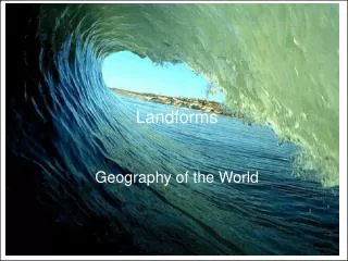
Landforms Geography of the World. Archipelago: a group or chain of islands. Atoll: a ring of coral islands and reefs that surrounds a shallow body of ocean water. Bay: an indentation into the land formed by water.

Télécharger la présentation

Landforms Geography of the World

An Image/Link below is provided (as is) to download presentation Download Policy: Content on the Website is provided to you AS IS for your information and personal use and may not be sold / licensed / shared on other websites without getting consent from its author. Content is provided to you AS IS for your information and personal use only. Download presentation by click this link. While downloading, if for some reason you are not able to download a presentation, the publisher may have deleted the file from their server. During download, if you can't get a presentation, the file might be deleted by the publisher.

E N D

Presentation Transcript


  1. Landforms Geography of the World

  2. Archipelago: a group or chain of islands

  3. Atoll: a ring of coral islands and reefs that surrounds a shallow body of ocean water.

  4. Bay: an indentation into the land formed by water.

  5. Beach: the shore of an ocean, sea, or lake. Beaches can be covered in sand, rock, or gravel.

  6. Butte: an isolated hill with steep sides.

  7. Cape: an extension of land that sticks out into the water.

  8. Canyon: a deep valley with high steep slopes.

  9. Channel: a narrow sea located between two landmasses.

  10. Cliff: a high steep face of a rock.

  11. Coral Reef: a reef made up of corals. (Corals are stony skeletal deposits that live on the ocean floor in warm water).

  12. Delta: a fan-shaped deposit at the mouth of a river.

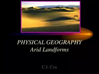
  13. Desert: a flat, dry and barren land with little or no vegetation.

  14. Dune: a hill or ridge of wind-blown sand.

  15. Fjord: an inlet of water located between steep cliffs.

  16. Foothill: the low hills at the base of a mountain.

  17. Glacier: a large mass of moving ice.

  18. Gulf: a large area of sea or ocean partially enclosed by land.

  19. Harbor: a sheltered body of water, deep enough to anchor ships.

  20. Hill: a natural rise in land, smaller than a mountain.

  21. Iceberg: a large body of floating ice.

  22. Island: a landmass completely surrounded by water.

  23. Isthmus: a narrow strip of land that joins or connects two larger landmasses.

  24. Jungle: land that is overgrown with tropical vegetation and trees.

  25. Lake: a large body of fresh or salt water located inland.

  26. Lagoon: a shallow area of sea water separated by a sand bar or coral reef.

  27. A flat-topped mountain with steep sides.

  28. Mountain: a natural elevation with steep sides larger than a hill. Mountain range: a chain of mountains.

  29. Mouth: the point where a smaller water body empties into a larger water body.

  30. Ocean: a large body of salt water

  31. Peak: the summit of a mountain

  32. Peninsula: a landmass covered by water on three sides.

  33. Plain: flat, level land with few or no trees.

  34. Plateau: the level top of an elevated landmass.

  35. Prairie: flat or gently rolling grasslands.

  36. River: a large stream of water that empties into a larger water body.

  37. Sea: a large body of salt water that is completely or partially landlocked.

  38. Sound: a large, wide ocean inlet of water that connects two larger bodies of water. Strait: a narrow passage of water that connects two larger bodies of water.

  39. Swamp: a lowland region saturated with water.

  40. Tundra: a treeless area located between the ice cap and tree line of the arctic region.

  41. Valley: a lowland area located between highlands such as mountains or hills.

  42. Volcano: a mountain in which molten lava and gases are ejected.

  43. Waterfall: a descent of water from a high point.

  44. Continent: a large continuous land mass

  45. Cove: a small, sheltered inlet or bay

  46. Geyser: a spring that jets hot water or steam into the air.

More Related