Download
1 / 17
370 likes | 913 Vues
This module provides an overview of map projections and coordinate systems, essential concepts in geography and cartography. It outlines how to set a map projection in ArcView and manipulate map scales effectively. Learn about different types of projections—cylindrical, conic, and planar—and how they affect map accuracy. The importance of coordinate systems, including geodetic datums like NAD83 and WGS84, is highlighted, along with techniques for minimizing distortion based on the region being displayed and the purpose of the map.

E N D
Map Projection & Coordinate Systems ArcView_module_6 May 13, 1:30 PM
Outline • Map Projection • Coordinate Systems • Setting a Map Projection in ArcView • Manipulating a Map Scale in ArcView
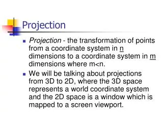
Map Projection Map Projection • Transforming three-dimensional space onto a two-dimensional map Curved Earth surface Flat Map
Map Projection Projection Types • Projections can be conceptually created by projecting from one geometric shape (a sphere) onto another (a cone, cylinder, or plane) • Cylindrical: projects a sphere onto a cylinder • Conic: projects a sphere onto a cone • Planar: projects a sphere onto a plane.
Map Projection Cylindrical Projection Good for displaying the world
Map Projection Conic Projection Good for displaying mid-latitude area such as U.S.
Map Projection Planar Projection Good for displaying hemisphere with one focus
Map Projection Point or Line of Tangency • Point or line of zero distortion • Projection distortion increases with distance from the point of contact • Point for planar projection • Line for conic/cylindrical projection
Map Projection Point or Line of Tangency • Cylindrical/Conic projections have • Standard parallel (line of tangency) • Central meridian • Planar projections have • Reference latitude (point of tangency) • Central meridian
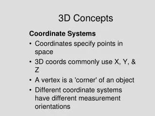
Coordinate Systems Coordinate Systems • Defined based on a variety of geodetic datums, map projections, units, and reference systems
Coordinate Systems Datum • Used as a reference as in surveying or mapping • Based on the Spheroid (earth model) • Usually referred to as a keyword (e.g. NAD83, WGS84)
Coordinate Systems Datum
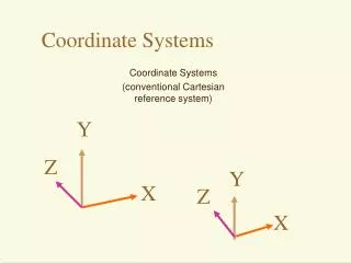
Coordinate Systems Spherical vs Planar Latitude Longitude
Coordinate Systems Global vs Local
Setting a Map Projection in ArcView Choosing a Map Projection depends on • Which region to display (e.g. world, north pole, equator, US) • Resolution of the region • Geometric properties of the region • Purpose of using maps such that the distortion can be minimized
Setting a Map Projection in ArcView View Properties menu • In ArcView. a view's map projection can only be set if the map units of the spatial data it contains are decimal degrees
Manipulating a Map Scale in ArcView Term definition • Map units are the units which the spatial data is stored in • Map scale is the relationship between the dimensions of a map and the dimensions of the Earth • Distance units are the units used by ArcView to report the result of operations (e.g. measurement (measure tool), dimension of shape (draw tool), dimension of selection box (select feature tool))