
Comparative Analysis of Flood Modelling Approaches for Hydrological and Hydraulic Models
E N D
Presentation Transcript
Contents • Weekly question • 1D • Quasi 2D • 2D • Comparison • Flood resilience - progress • GIS • Hydrological model • Hydraulic model
Weekly question Comparison between different flood modelling approaches: 1D, quasi 2D & 2D Strategy to compare: • Theory • Assumptions • Build 1D, quasi 2D, 2D models in the lower Var • water level, velocity results at Napoleon bridge • Purpose of each approach
1D MIKE 11 • Solve 1D Saint - Venant equations • Numerical Methods • Finite Difference Method • Implicit Scheme
Quasi 2D HEC-GeoRAS • Main River 1D model - Saint-Venant Numerical Methods Finite Difference Method Implicit Scheme • Lateral spill Lateral Weirs
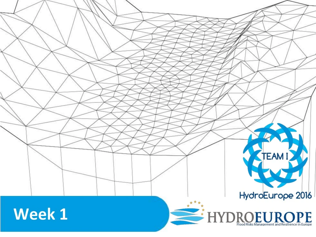
2D MIKE 21 • Solve Saint-Venant equations (Shallow water equations) • Numerical Methods • Finite Difference Method • Completely implicit algorithms - stable but slow • Rectangular grids
Result discussion Statistically investigate differences in the outcomes values of each program • Specific location (Napoleon III bridge) • Water depth • Velocity Quasi 2D without weirs! Results at flood peak - Napoleon III bridge
Result discussion 2D flood map not accurate
Conclusion • Quasi 2D model - compromise between relatively low computational cost and acceptable accuracy • 1D can model flooding, keep in mind the assumptions and simplifications • Computational cost: GPU vs. CPU • Purpose? The chosen model should be adapted to the features it is meant to simulate (reservoir filling → 1D, velocity field in floodplain → 2D )
Objectives Week 1 Hydrological model GIS analysis Area Slope Land use analysis (Manning) Thiessen parameter Model set up MIKE11 HEC GeoRAS MIKE21 (25m x 25m DEM) Calibrated Hydrograph (Upstream Boundary) Hydraulic model Water level Velocity in Napoleon Bridge Week 2 • Improving hydraulics structure implementation in MIKE11 • MIKE21 model set up (5m x 5m DEM) in airport area • Estimating FRI based on the flood map
Progress Data Preparation - ArcGIS 1.Obtained georeferenced topography 2.Watershed analysis: 4. Land-use analysis • flow direction • flow accumulation • stream delineation • sub-catchment delimitation 5. Sub-catchments rainfall analysis: Thiessen polygons methods 3.Geometrical analysis: • area, • flow length • slope
Progress Hydrological Model calibration Mike SHE HEC HMS • Peak value→ 3638 m3/s, • Topography of 300m→ The size of the mesh transformed the flood transfer (3 hours of lag time) • R2 = 0.6 • CN→ The shape of the hydrograph • Impervious % → Steepness of the hydrograph • Lagtime→ modeled peak time = same as observed (5Nov1994 18:00) • R2 = 0.9
Progress Hydraulic Model - HEC-GeoRAS Model Set Up • Draw the lower Var reach with HEC-GeoRAS using orthophotos and a DEM • Export GIS data to HEC-RAS • Draw weirs, set the parameters, execute computations