Mapping Global Land Cover Dynamics and Vegetation Productivity Using Advanced Technologies
Explore the continuity of global daily moderate resolution vegetation indices from 1970 onwards, examining natural and human influences, responses, and long-term dynamics. Utilize Lidar and drone technology for 3D vegetation structure and terrain mapping, linking to climate and global land cover changes.

Mapping Global Land Cover Dynamics and Vegetation Productivity Using Advanced Technologies
E N D
Presentation Transcript
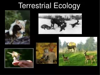
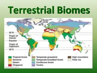
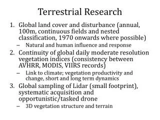
Terrestrial Research • Global land cover and disturbance (annual, 100m, continuous fields and nested classification, 1970 onwards where possible) • Natural and human influence and response • Continuity of global daily moderate resolution vegetation indices (consistency between AVHRR, MODIS, VIIRS records) • Link to climate; vegetation productivity and change, short and long term dynamics • Global sampling of Lidar (small footprint), systematic acquisition and opportunistic/tasked drone • 3D vegetation structure and terrain